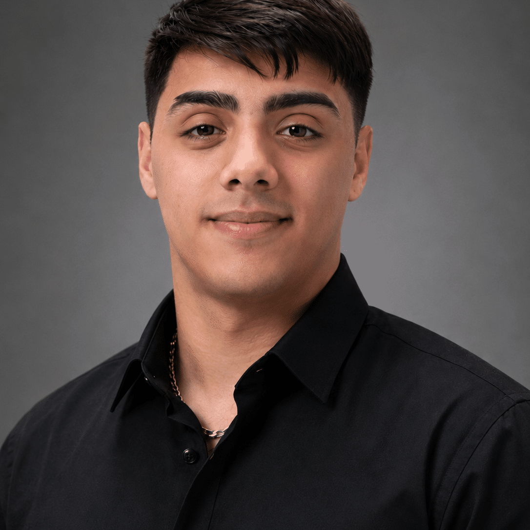
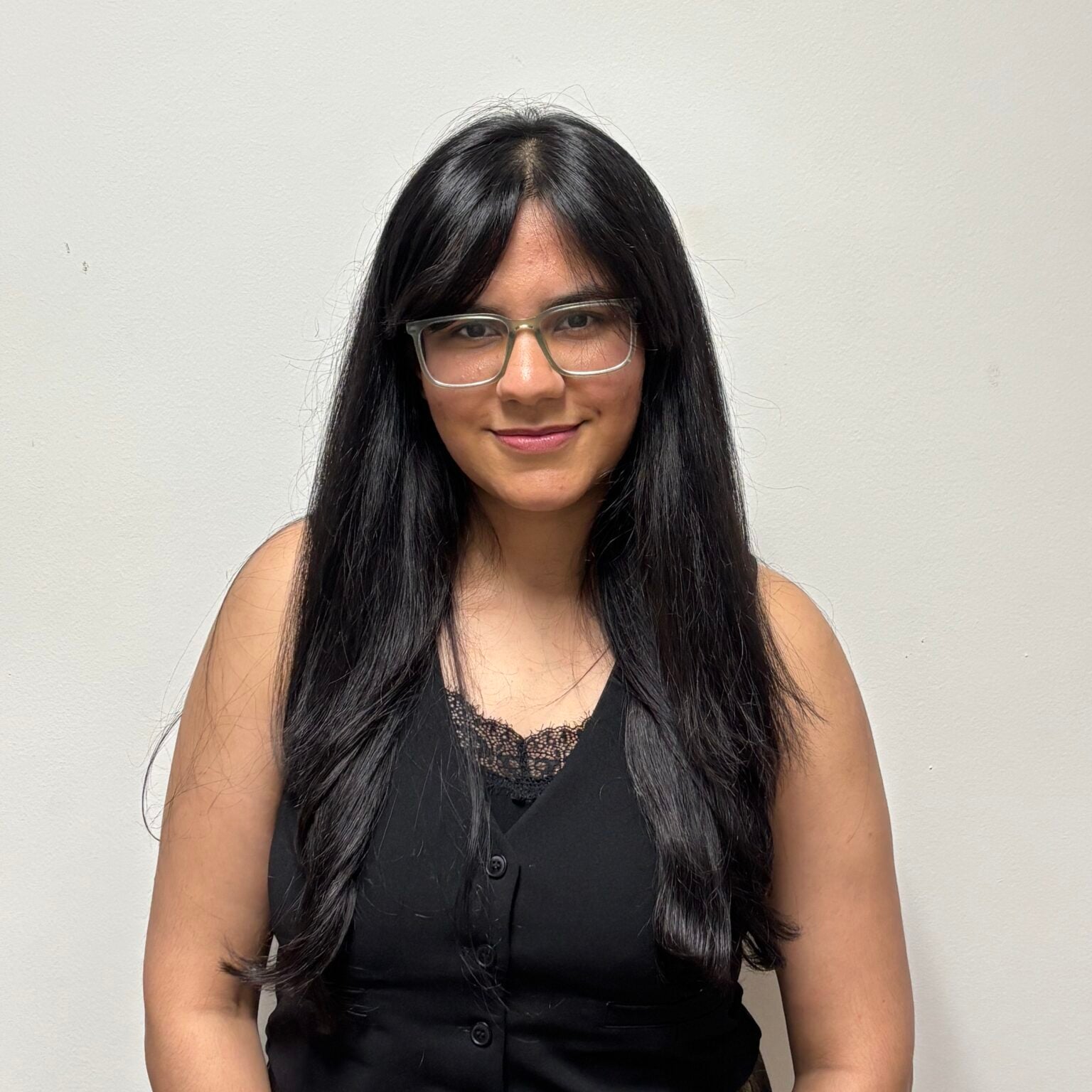
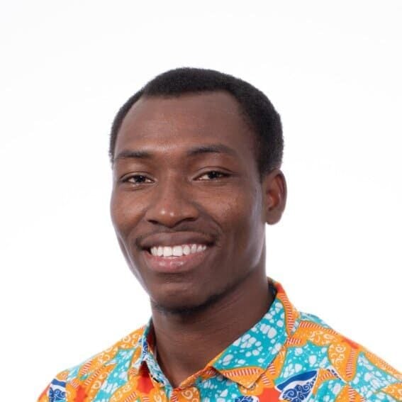
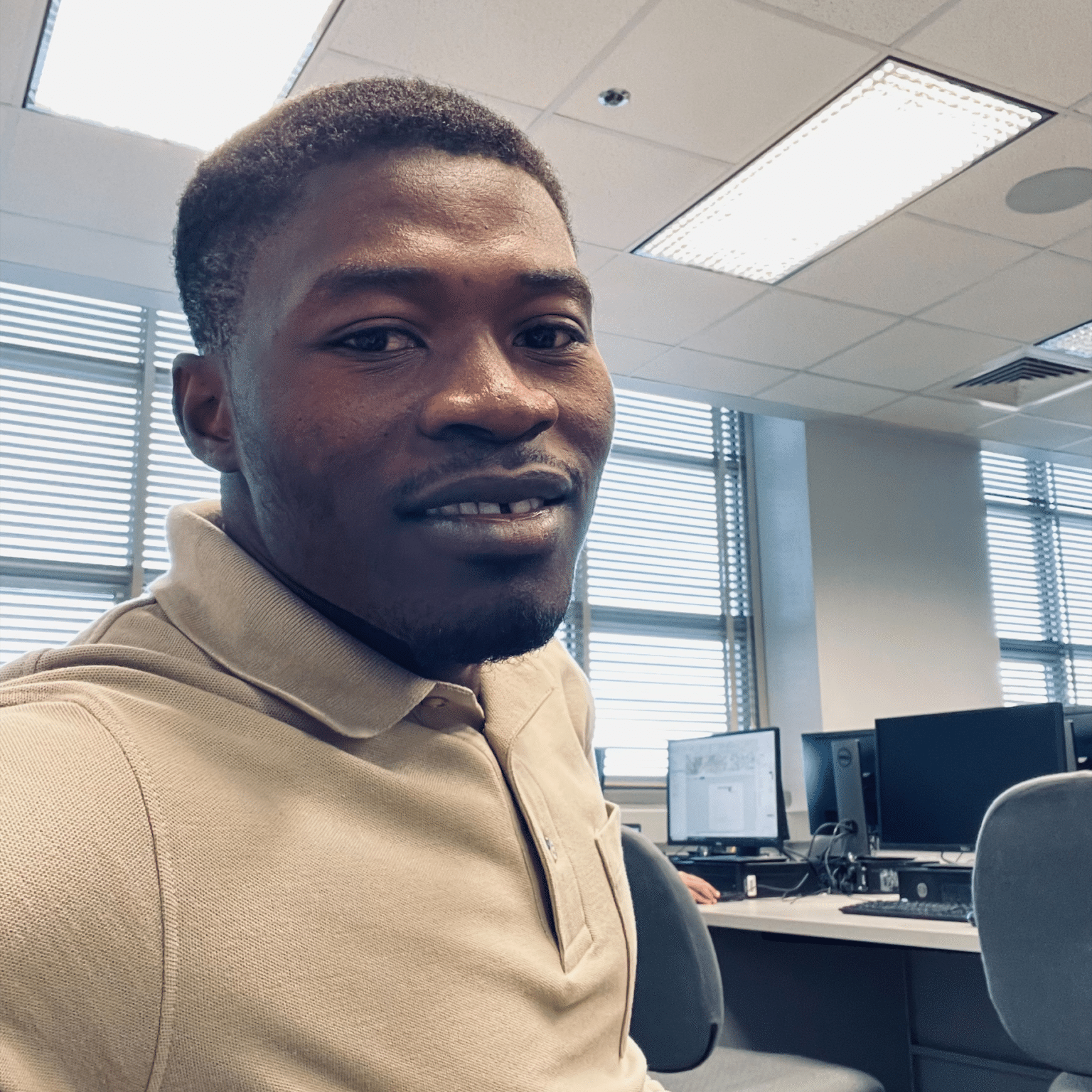
Congratulations to the 2026 USGIF Scholarship recipients. Explore the profiles below to discover the GEOINT-related research and career trajectories being pursued by this year's class of high school seniors, undergraduate, graduate, and doctoral scholars. Learn more about the USGIF Scholarship program.
Stu Shea USGIF Endowed Scholarship
Hailey Richardson is a PhD Candidate in Geography at The University of Alabama and a researcher in the Laboratory for Location Science. Her research focuses on crime geography, geospatial intelligence, location science, and spatial analysis, with applications in public safety, transportation, homeland security, and healthcare accessibility. She holds a Bachelor of Science in Geography with a concentration in Geographic Information Systems and a minor in Homeland Security Studies from Sam Houston State University, where she graduated Summa Cum Laude with Highest Honors.
Richardson's work examines topics including illicit drug trafficking networks, crime pattern analysis, transportation interdiction, and rural healthcare optimization. She has presented her research at national and international conferences and has authored publications in geographic information science and operations research. The National Science Foundation, the Dwight D. Eisenhower Transportation Fellowship, and other competitive grants and scholarships have supported her research.
In addition to her research, Richardson serves as a lecturer, mentor, and advocate for geographic education. She has held leadership roles within professional geographic organizations, contributed to initiatives supporting veterans and students, and mentored undergraduate researchers and future GIS professionals. Outside of academia, she enjoys promoting geographic literacy, supporting STEM outreach programs, and exploring innovative applications of GIS to address complex societal challenges.
"Receiving the United States Geospatial Intelligence Foundation's Stu Shea Endowed Scholarship is both an incredible honor and a meaningful milestone in my academic and professional journey. As a PhD Candidate in Geography at The University of Alabama, my research focuses on applying geospatial intelligence, spatial analysis, and location science to address complex challenges in public safety, transportation, and national security. To be recognized through such a competitive process by professionals within the GEOINT community is deeply rewarding and reaffirms my commitment to advancing the field."
Hailey Richardson
The University of Alabama
Reinventing Geospatial, Inc. (RGi) Scholarship for Geospatial and Engineering
Erin Lepsch
Michigan State University
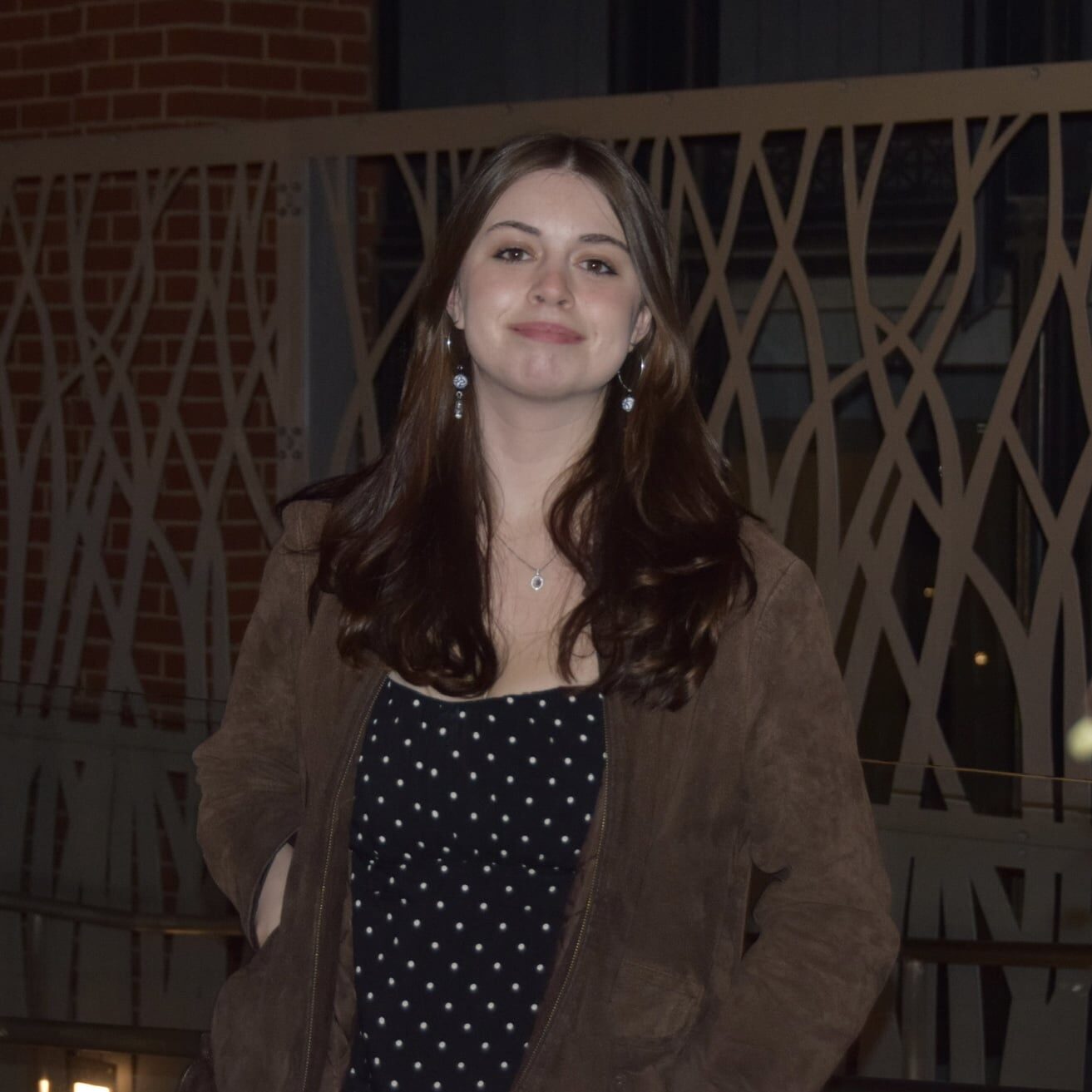
Erin Lepsch is a sophomore at Michigan State University studying Computer Science and Geography, with a minor in Geophysics. She currently works as a GIS Intern where she applies various remote sensing and geospatial methods to assist with the study of interstitial space between rocks on the Great Lakes lakebeds for environmental habitat research. Erin is especially interested in underwater mapping and bathymetric GIS. This interest stems from her belief that the lack of geographic understanding of seabeds is one of the most critical gaps in modern science. She hopes to build a career contributing to the mapping and analysis of ocean floors and developing software for technology that will advance the field of hydrographic GIS.
"Being awarded the RGi Scholarship for Geospatial and Engineering is a huge honor that I’m deeply grateful for. When I found out I had been selected as a recipient I was relieved and excited; pursuing higher education and research can be incredibly costly, and opportunities like the one USGIF and RGi are providing me help to bridge the gap between ambition and execution. Receiving this kind of aid directly supports my skill development and pursuit of further research opportunities. I’m so thankful for this scholarship and the opportunities it’s providing me to contribute to the future of hydrographic GEOINT."
Ken Miller Scholarship for Advanced Remote Sensing Applications
Vicky Sobot is a master's student at Arizona State University studying Global Security with a concentration in Irregular Warfare. She holds a Bachelor of Arts in National Security and Foreign Affairs from Virginia Tech, with minors in Spanish, International Studies, International Business, and Integrated Security. Vicky is passionate about addressing global and international security threats and looks forward to applying her skills in geospatial intelligence to support national security and intelligence communities.
"I would like to extend my deepest gratitude to the United States Geospatial Intelligence Foundation (USGIF) and Riverside Research for their support and for selecting me as a recipient of the Ken Miller Scholarship for Advanced Remote Sensing Applications. I am deeply honored to have been chosen from a highly skilled and talented pool of applicants.
Receiving this scholarship will provide meaningful financial support as I continue to pursue my master's degree at Arizona State University. It will also provide the opportunity to further engage with the USGIF community and expand my skills in the areas of geospatial intelligence and remote sensing."
Vicky Sobot
Arizona State University
Black Cape Scholarship for Students in Geospatial Intelligence
Ariel Ooms
Michigan State University
Ariel Ooms is currently a rising senior at Michigan State University pursuing a Bachelor of Science degree in Geographic Information Science with a minor in Social Science Quantitative Data Analytics and a minor in Global Public Health and Epidemiology. She acted as the president of the MSU Geography Club and the MSU Supporting Women in Geography (SWIG) organization over the past year. Ariel holds several research positions investigating food insecurity in Flint, Michigan and using remote sensing methodologies to identify root disease in sugar beets. Currently, Ariel is completing an internship with the intelligence team at Esri. She plans to pursue a master’s degree in biostatistics to integrate GIS with public health and epidemiology.
Being awarded the Black Cape Scholarship for Students in Geospatial Intelligence is such an unbelievable honor. It has provided me not only financial stability as I enter my final semester as an undergraduate student, but has also given me the recognition and encouragement that I am on the right track and thriving in my chosen field. I am honored to have the time and effort I have put into making a difference in the GIS discipline be recognized at this scale. This award gives me the chance to continue following my passions and enhance my abilities as I enter my professional career. I am extremely grateful to be a USGIF Scholarship Recipient and I am looking forward to my bright future in the GEOINT fields.
Vantor Scholarship for Innovation in GEOINT
Ryder Cuch is a student at Dartmouth College studying Geography and Design. Hiswork explores how design and geospatial technology can mediate human relationshipsto systems, spanning HCI, GIS, and XR technology, with a focus on Indigenous andenvironmental issues. An enrolled member of the Aquinnah Wampanoag Tribe, hecurrently researches Indigenous governance frameworks at the Harvard KennedySchool's Project on Indigenous Governance and Development. He is also a DJ andEditor-in-Chief of the Dartmouth College Radio
"I believe geospatial technology is an incredible tool that allows the world to better understand itself, one that is often overlooked or taken for granted. My path into this field started through design, thinking about how systems shape the way people interact with the world around them. But through my research on Indigenous governance and legal recognition frameworks, I've found myself increasingly drawn to policy, seeing firsthand how spatial data can inform decisions that affect real communities' sovereignty and self-determination.
As an enrolled member of the Aquinnah Wampanoag Tribe, this isn't abstract to me. I have so much gratitude and appreciation for the opportunity USGIF offers in supporting me as a student to explore problems through this unique lens, and I'm excited to keep learning how geospatial intelligence can serve both design and policy in shaping a more just and sustainable future."
Ryder Cuch
Dartmouth College
AWS Scholarship for Leadership in GEOINT
Anna McNulty
Southern New Hampshire University
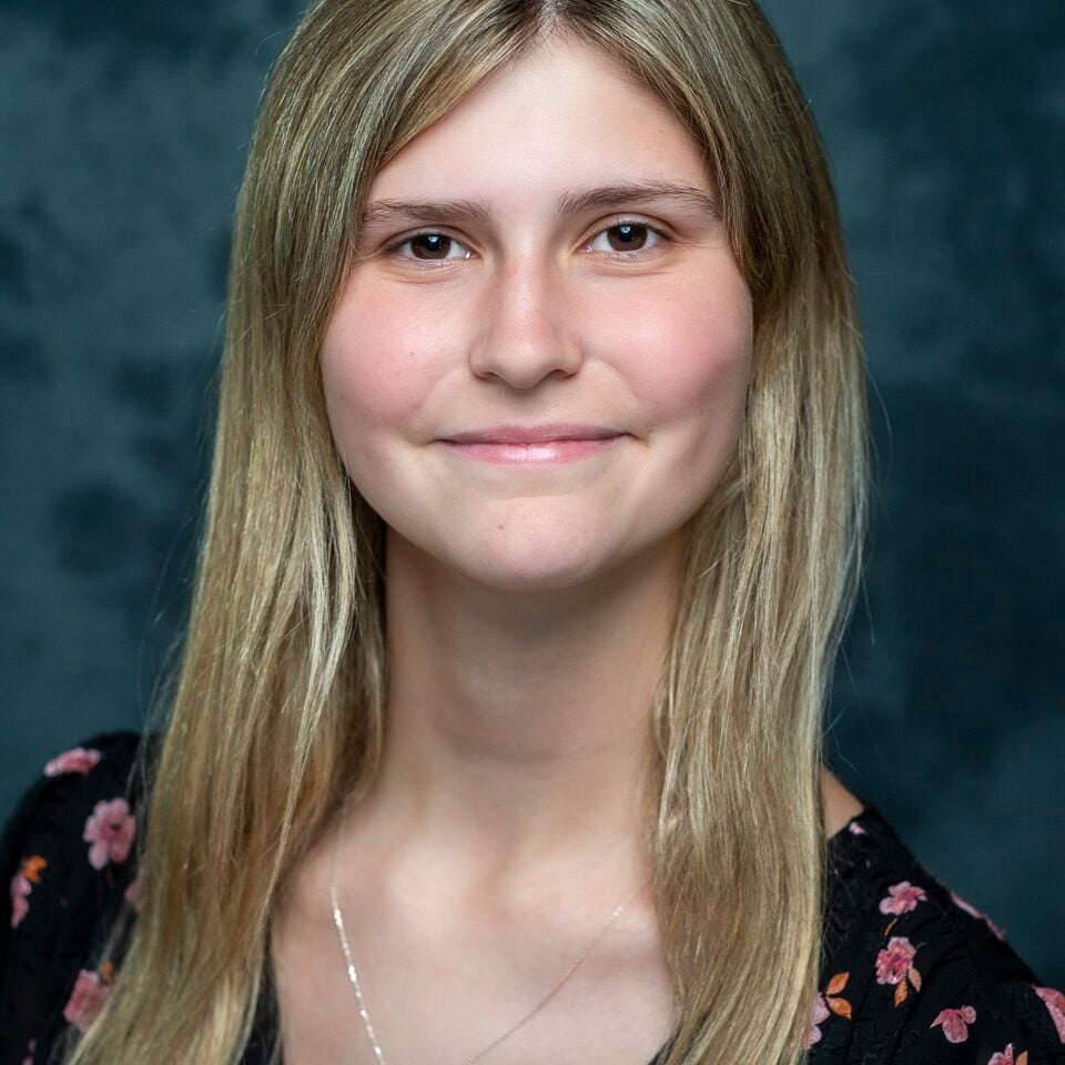
Anna McNulty is an active-duty Marine with over eight years of military service, specializing in imagery analysis for the past three years. She is currently pursuing a Bachelor’s degree in Geosciences at Southern New Hampshire University, where she aims to deepen her understanding of the foundational elements that drive geospatial intelligence. In her professional role, Anna focuses on tactical imagery exploitation and the creation of specialized topographic products designed to directly support tactical operations. Her dedication and expertise in this field were recently recognized with a Navy and Marine Corps Achievement Medal for her work in imagery exploitation. This summer, she will continue to advance her expertise by joining the National Geospatial-Intelligence Agency’s (NGA) Enlisted GEOINT Career Advancement Program (GCAP).
"When I got the news that I had received the AWS Scholarship for Leadership in GEOINT, I was completely shocked and overjoyed. Stepping into more significant leadership roles within my field has taught me that true leadership is all about investing in people and helping others see the real-world impact of their work. Receiving this scholarship is a massive relief that allows me to pursue my geosciences degree freely, without the constant worry of cost. This support motivates me to keep building my technical foundation so I can continue to lead and mentor the next generation of geospatial analysts. I am incredibly grateful for this opportunity!"
GDIT Horizons Scholarship
Eric Borowski is an incoming Uncrewed Aircraft Systems student at Embry-Riddle Aeronautical University in Daytona Beach, Florida. He already holds his FAA Part 107 Remote Pilot Certificate, giving him a practical foundation in unmanned aircraft operations as he begins his academic path in aviation and geospatial technology.
Eric is interested in the ways uncrewed aircraft systems, remote sensing, geospatial data, and mission planning can improve situational awareness and decision-making in national security, public safety, and disaster response environments. Through his studies, he hopes to build the technical skills needed to apply UAS technology and GEOINT tools to real-world operational challenges.
Eric is also preparing to participate in Navy ROTC, where he looks forward to developing as a leader while pursuing a future of service. As the recipient of the 2026–2027 GDIT Horizons Scholarship, Eric is grateful for the opportunity to join the USGIF community and continue building a future at the intersection of aviation, unmanned systems, geospatial intelligence, and national service.
"Receiving the GDIT Horizons Scholarship is an incredible honor and an important source of support as I begin my studies at Embry-Riddle Aeronautical University. This award strengthens my commitment to pursuing the connection between uncrewed aircraft systems, geospatial intelligence, aviation, and national security.
With USGIF’s support, I will be able to focus more fully on my education, Navy ROTC responsibilities, and opportunities to grow within the GEOINT community. I am grateful for this investment in my future and excited to continue building the skills needed to contribute to a field where technology, service, and mission impact come together."
Eric Borowski
Embry-Riddle Aeronautical University
Leidos Scholarship for AI/ML Advancement
Joseph Pelczar
George Mason University
Joe Pelczar is a Ph.D. student in the Department of Computational and Data Sciences at George Mason University, where his research focuses on vision-language models, reinforcement learning, and agentic AI for geospatial intelligence. At AWS, he serves as a Senior Data Scientist leading generative and agentic AI initiatives for public sector customers, and he has delivered computer vision and AI/ML solutions from applied research through deployment.
Joe brings nine years of professional experience across computer vision, generative AI, and cloud computing. He has co-presented and contributed to workshops at the GEOINT Symposium in 2025 and 2026. He holds an M.S. in Data Analytics Engineering from George Mason University. Through his doctoral research and technical leadership, he is advancing AI-enabled geospatial reasoning that helps analysts focus on the insights that matter most. He is committed to publishing impactful research, mentoring future AI practitioners, and strengthening the GEOINT community through innovation and collaboration.
"Winning the USGIF Leidos Scholarship for AI/ML Advancement is a tremendous honor and reinforces my commitment to applying artificial intelligence to geospatial challenges. This support enables me to further my doctoral research at George Mason University, bridging AI research with real-world intelligence applications. I am sincerely grateful to USGIF and Leidos for their investment in my education and look forward to contributing to the GEOINT community through research, collaboration, and service."
Future Geospatial Innovator Award
Florence Onyike is a PhD candidate in Geosciences at Virginia Tech, where her research integrates satellite geodesy, hydrology, and data analytics to advance geospatial intelligence for water security. Her work examines managed aquifer recharge (MAR) as a strategy to mitigate land subsidence and restore groundwater sustainability, with particular attention to the underserved and rapidly urbanizing communities most vulnerable to water insecurity and land instability. Florence is committed to translating her research into practical tools that help water managers and communities anticipate and withstand water-related hazards before they escalate into crises. Beyond research, she volunteers and mentors the next generation of scientists, guiding young students interested in STEM through various outreach and pen-pal mentorship programs.
"Receiving the Future Geospatial Innovator Award means a great deal to me. Being selected feels like confirmation that my research genuinely advances the GEOINT tradecraft and aligns with USGIF's mission. When I received the news, I felt a deep sense of validation; this award tells me that the innovation in my research is valued. This scholarship will support my research and connect me to a community of GEOINT practitioners who care about the same national security and water resilience challenges I am working to solve. I am deeply grateful for this opportunity and energized to keep building."
Florence Onyike
Virginia Tech
Globe Building St. Louis Scholarship
Ashutosh Pawar
Saint Louis University
Ashutosh Pawar is a PhD student in Geoinformatics and Geospatial Analytics at Saint Louis University, where he conducts research in the Remote Sensing Lab under Dr. Vasit Sagan. His dissertation, "Manure Happenings," uses remote sensing and GeoAI to map manure ponds at cattle operations, generating facility-level evidence for livestock methane inventories that have long depended on regional assumptions. At the center of this work is the Bovine Slurry Index, a physically informed spectral method he developed to detect manure ponds from satellite imagery as part of SLU’s Climate TRACE work on global cattle operations and manure management.
Ashutosh received third place in the Student Poster Competition at the USGIF GEOINT Symposium 2025. A first-generation and international graduate student from Maharashtra, India, he also serves as Vice President of Academic Affairs for the North Campus Graduate Student Association and is founding the Geospatial Science Student Association at SLU. He aims to build a career at the intersection of geospatial research, environmental policy, and climate accountability.
"There is something fitting about a scholarship tied to the Globe Building. The same building that once produced aeronautical charts for the Army Air Force in World War II is now the anchor of St. Louis’s modern geospatial intelligence industry. My own research traces a similar line, using remote sensing and GeoAI methods to map something as unglamorous as manure ponds, because that data feeds far larger questions about methane emissions and climate accountability.
This recognition means a great deal to me, especially as a first-generation and international graduate student who found both academic direction and community in St. Louis. To be supported by a scholarship rooted in this city feels like an extension of the same St. Louis tradition: take a real, practical mapping problem and turn it into something that matters nationally and globally. I am grateful to USGIF, the Globe Building community, and my colleagues in Saint Louis University’s Remote Sensing Lab for investing in that possibility."
Westway Services Scholarship for Veterans
Originally from Mississippi, Kyle Porto joined the United States Army to serve his country while pursuing his passion for intelligence and geospatial analysis. He currently serves as a Geospatial Intelligence Analyst (35G) stationed at Camp Humphreys, South Korea. Throughout his military career, Kyle has supported major training and operational missions, including a rotation to Poland and a rotation to the National Training Center (NTC), gaining valuable experience in intelligence support and mission planning. His dedication to leadership and excellence earned him the Distinguished Leader Award at the U.S. Army Basic Leader Course (BLC).
Kyle is currently pursuing his bachelor's degree at Delta State University, where he has maintained a perfect record of A's while balancing the demands of active-duty military service. He was also awarded the Carlyle Meeks Award in recognition of his academic achievement, leadership, and commitment to service. Passionate about the future of geospatial intelligence, Kyle hopes to continue building a career within the GEOINT and national security communities, leveraging geospatial technologies and emerging innovations to solve complex challenges and support informed decision-making. Outside of work and school, he enjoys photography, travel, and exploring new technologies. Kyle is honored to be a recipient of the USGIF Westway Services Scholarship for Veterans and looks forward to contributing to the GEOINT community for years to come.
"I am incredibly honored to be selected as a recipient of the USGIF Westway Services Scholarship for Veterans. Balancing active-duty military service with higher education can be challenging, and this scholarship provides both financial relief and reassurance that I have the support of a community that believes in my future. This award will allow me to focus more fully on my education while pursuing advanced GEOINT coursework and professional certifications that will strengthen my technical skills and better prepare me for a career in geospatial intelligence.
As someone who is passionate about serving both the national security and GEOINT communities, having the opportunity to continue growing academically and professionally means a great deal to me. I am deeply grateful to USGIF and Westway Services for investing in veterans and students like me. Knowing that experienced professionals believe in my potential is incredibly motivating, and I look forward to one day giving back to the GEOINT community that has already given so much to me."
Kyle Porto
Delta State University
Doctoral Scholars
Muskan Kingrani is a Ph.D. student in Imaging Science at Rochester Institute of Technology, where her research focuses on hyperspectral remote sensing, target detection, and the characterization of factors that influence detection performance in geospatial intelligence applications. She earned a B.S. in Physics from the University of Pécs, Hungary, and previously worked as a Senior Metrological Laboratory Assistant at Semilab Semiconductor Physics Laboratory, where she specialized in optical spectroscopy, instrument calibration, and metrology. Her current and future research interests include hyperspectral target detection, sensor calibration, and modeling the limitations of remote sensing systems to improve the reliability of geospatial intelligence products. In 2026, she received the Outstanding Innovation and Research Award from the IEEE Geoscience and Remote Sensing Society Joint Chapter Meeting for her work on orientation-induced effects in hyperspectral target detection.
"Receiving a USGIF scholarship is both an honor and a meaningful milestone in my journey as a researcher. While I am grateful for the financial support, what this award represents to me goes far beyond funding. It feels like a step toward the larger goals I have been working toward for many years—contributing to the field of geospatial intelligence through research in remote sensing and imaging science.
This recognition would not have been possible without the support of my mentors, to whom I am deeply grateful. They have challenged my thinking, encouraged my growth as a researcher, and continually pushed me to step outside of my comfort zone. Their guidance has helped me build confidence in my abilities and pursue opportunities that I might not have considered otherwise. Receiving this scholarship reinforces my commitment to continuing that growth and contributing to the geospatial intelligence community in meaningful ways."
Muskan Kingrani
Rochester Institute of Technology
Jacob Tagnan is a Ph.D. student in Geography at Florida State University whose research lies at the intersection of geospatial intelligence, transportation systems, disaster resilience, and spatial data science. His work leverages GIS, GeoAI, human mobility data, and advanced spatial analytics to better understand population movement during disasters and improve access to critical services.
Jacob earned a Bachelor of Science in Human Settlement Planning from Kwame Nkrumah University of Science and Technology (KNUST), Ghana, graduating with First Class Honors. He also holds a Master of Science in Geography from Florida State University, where his research examined hurricane-induced vehicle mobility patterns and accessibility to critical facilities. Building on this foundation, his doctoral research focuses on developing predictive geospatial intelligence frameworks that support emergency planning, transportation resilience, and community preparedness.
He has presented his research at regional and national conferences and contributed to transportation and resilience initiatives through collaborations with public agencies and academic partners. Jacob is committed to advancing geospatial intelligence and data-driven solutions that enhance decision-making and strengthen community resilience in the face of environmental and infrastructure-related challenges.
"Receiving the USGIF Doctoral Scholarship is a tremendous honor and a significant milestone in my academic journey. This award affirms my commitment to advancing geospatial intelligence research and applying innovative geospatial technologies to address complex societal challenges.
As a doctoral student in Geography at Florida State University, my research focuses on developing geospatial intelligence frameworks that enhance disaster preparedness, emergency response, and community resilience through the integration of GIS, GeoAI, mobility data, and advanced machine learning models. My goal is to support data-driven decision-making that improves outcomes for vulnerable populations during disasters and other critical events.
I am deeply grateful to USGIF for this investment in my education and future. I also extend my sincere appreciation to my advisor, Dr. Mark Horner, and the mentors who have supported my academic and professional growth. This recognition strengthens my commitment to advancing geospatial solutions that serve communities and contribute to a more resilient future."
Jacob Tagnan
Florida State University
Clifford Boateng is pursuing a PhD in Earth and Atmospheric Science at Mississippi State University. He earned an MSc in Geospatial Science from Mississippi State University and a BSc in Geomatic Engineering from Kwame Nkrumah University of Science and Technology in Ghana. His research interests lie at the intersection of remote sensing, atmospheric science, and health geography, with a focus on integrating satellite-derived air pollution data with spatial modeling to better understand environmental exposures and their impacts on human health. Through his doctoral studies, he aims to advance GEOINT applications using data from emerging geostationary orbit satellite missions to support environmental monitoring, pollution exposure assessment, and improved public health outcomes. Outside of research, Clifford enjoys watching soccer and listening to music.
"Receiving the USGIF Doctoral Scholarship is both an honor and a great source of encouragement as I begin my doctoral studies. I was filled with excitement when I received the email announcing the award, as it represents recognition from a community dedicated to advancing GEOINT. I would also like to express my gratitude to my advisor, Dr. Shrinidhi Ambinakudige, whose unwavering belief in my abilities has helped shape me as a researcher and taught me to approach challenges with optimism.
This scholarship motivates me to continue pursuing innovative geospatial solutions to pressing environmental and public health challenges. I am grateful to USGIF for investing in me and for the opportunity to become part of a community of professionals who are shaping the future of GEOINT."
Clifford Boateng
Mississippi State University
Graduate Scholars
Sophia Meyers
University of Pennsylvania
Sophia Meyers is an incoming Master of Urban Spatial Analytics student at the University of Pennsylvania's Weitzman School of Design. She recently graduated with honors from the University of California, Berkeley, earning a B.A. in Geography with a concentration in Geographic Information Science and a minor in Geographic Information Science and Technology. At Berkeley, Sophia conducted undergraduate research in the Environmental Systems Dynamics Laboratory under Dr. Laurel Larsen. Her work focused on developing geospatial methods using LiDAR and remote sensing data to study ecological patterns in the Okavango Delta, Botswana.
As a URAP Summer Fellow, she expanded this research through spatial analyses of termite mounds, tree canopy dynamics, and landscape processes, contributing to ongoing scientific publications. Sophia has been recognized for her academic achievements through the Davis A. Rose Physical Geography Merit Scholarship and has contributed to scholarly papers in spatial landscape analysis. Beyond her research, she served as a mentor in Berkeley's SAGE Mentorship Program, supporting elementary school students through individualized academic guidance.
"Receiving the USGIF Graduate Scholarship is an incredible honor and a meaningful vote of confidence as I begin the next stage of my education. Beyond the financial support, this award connects me with a community of professionals shaping the future of geospatial intelligence and innovation. I am especially excited for the opportunities to engage with fellow scholars, attend GEOINT events, and continue learning from leaders in the field. I am deeply grateful to USGIF for investing in me and making my graduate education more accessible."
Dylan Lang
The City College of New York (CUNY)
Dylan Lang is a graduate student pursuing a Master of Science in Environmental Engineering at The City College of New York (CCNY). He earned his bachelor’s degree in Environmental Engineering from CCNY, graduating Cum Laude and becoming a member of the Order of the Engineer. Dylan currently works as a Construction Representative 2 with CDM Smith, supporting major infrastructure and environmental projects in New York City. His academic and professional interests include environmental sustainability, resilient infrastructure, geospatial technologies, and construction management.
Throughout his studies, he has received several scholarships and research awards, including support for environmental and nuclear waste management research initiatives. Through his graduate studies and professional experience, Dylan hopes to contribute to projects that protect public health, improve environmental resilience, and strengthen critical infrastructure. Outside of school and work, he enjoys attending Broadway shows, hiking, traveling, and spending time with family and friends.
"Receiving the USGIF Scholarship is truly an honor and an exciting milestone in my academic and professional journey. As a graduate student pursuing a master’s degree in Environmental Engineering at The City College of New York, this award provides valuable financial support that will help me focus on my studies and continue developing the technical skills needed to address environmental and infrastructure challenges.
Beyond the financial assistance, this scholarship is meaningful because it recognizes my dedication to education, research, and public service. It motivates me to continue exploring how geospatial technologies can support sustainable infrastructure and environmental protection. I am grateful to the USGIF community for investing in students like me and helping support the next generation of professionals working to make a positive impact."
Undergraduate Scholars
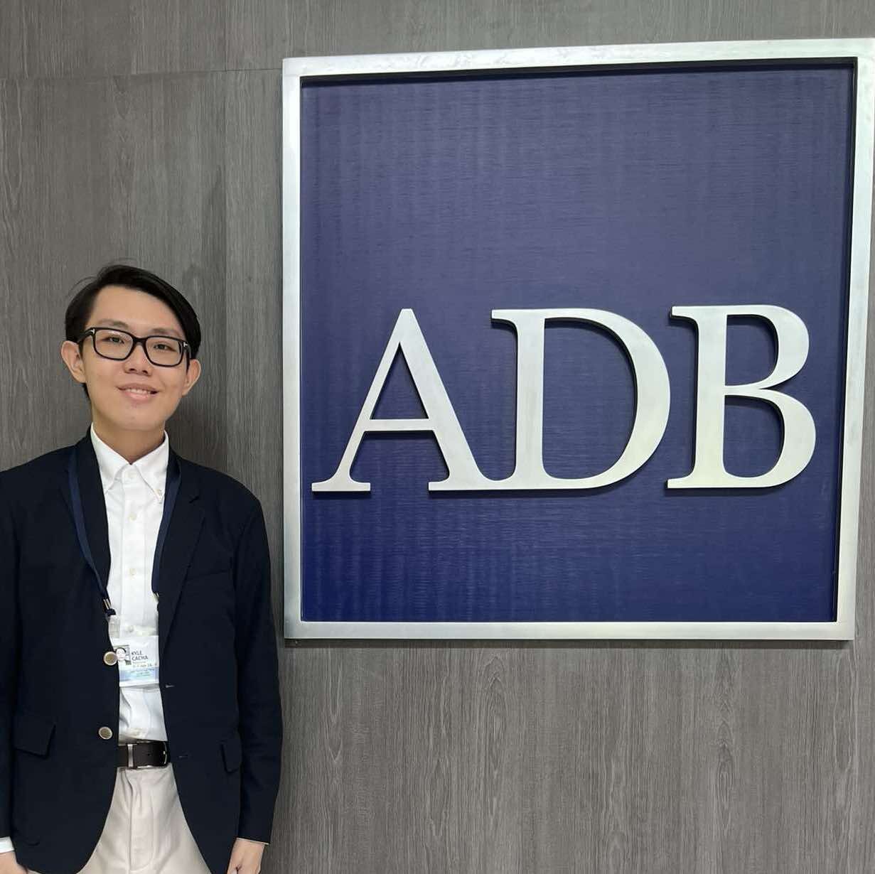
Kyle Cacha was awarded a 2026 USGIF Undergraduate Scholarship. Kyle is a Junior at the University of Southern California, pursuing a Bachelor of Science in Business Administration and a minor in Human Security and Geospatial Intelligence. His experience and interests in GEOINT revolve around the utilities sector. Kyle is particularly fascinated by how GEOINT strategically transforms the monitoring, management, and resilience of critical infrastructure, particularly within the energy and water utility sectors. He has participated in programs and engagements focused on infrastructure financing, energy policy, water management, sustainable development, and the circular economy, recognizing their critical role in addressing complex global challenges. The USGIF scholarship enabled him to invest in educational resources to strengthen his technical expertise and support his academic and professional aspirations.
"Receiving the 2026 USGIF Undergraduate Scholarship was both an honor and a profound source of encouragement in my studies at the University of Southern California. I have witnessed firsthand how reliable energy and water systems shape communities, and I believe that integrating expertise in business and geospatial intelligence can enhance the resilience of critical infrastructure and strengthen national security. I am deeply grateful for USGIF's investment in my education, and I hope to use the knowledge and experiences gained through this opportunity to contribute to my country."
Kyle Cacha
University of Southern California
Navya Sarapadi is a junior at the University of Michigan, majoring in Earth and Environmental Sciences. Involved in geomorphology research, he studies tectonic movements, geodynamics, etc., focusing on natural disasters. He is also interested in researching natural hazards and better understanding them to develop better prevention methods.
"I am very happy and grateful to have won the USGIF scholarship recipient. I want to take this scholarship and apply it towards my tuition. I want to give back to my community and our Mother Earth through my work and research. I hope this scholarship inspires and enables many people like me."
Navya Sarapadi
University of Michigan
Emma Bergquist is a senior at Brigham Young University studying Geography with an emphasis in Geospatial Science and Technology. She currently works as a GIS Analyst for Payson City, Utah, where she enjoys helping develop maps and manage spatial data to support city operations. After graduation, Emma hopes to continue working in the GIS field and further develop her technical knowledge and professional skills.
Emma is a recipient of the Hinckley Scholarship and has been recognized on the BYU Dean’s List for her academic achievement. She is also fluent in Spanish after living in Spain for a year and a half. Outside of her studies and work, Emma enjoys hiking, camping, and spending time outdoors with her husband.
"Receiving the USGIF Scholarship was a surreal and incredibly meaningful moment for me. As a student, I have worked hard to support myself through school. Balancing academic responsibilities, work, and financial obligations can be challenging, so learning that I had been selected as a scholarship recipient brought a tremendous sense of relief and gratitude.
Beyond the financial assistance, this scholarship has given me the opportunity to focus more fully on my education and professional development. Instead of worrying as much about how to cover educational expenses, I can devote more time and energy to learning, growing my skills in GIS, and preparing for a career in the geospatial field. I am deeply grateful to USGIF for investing in students like me and helping make my educational and professional goals more attainable."
Emma Bergquist
Brigham Young University
Graduating High School Seniors
Zara Jackson
University of Michigan
Zara Jackson is driven by a desire to explore how geospatial analysis and international relations can be leveraged to improve global security and disaster response. Throughout high school, she developed a strong foundation in policy as a head delegate for her Model UN team, focusing closely on the Disarmament & International Security and Economic & Financial committees.
Zara has gained direct insight into governance and public policy through congressional internships. She served as a legislative intern in the office of U.S. Senator Mark Kelly, where she enjoyed learning about advancements in naval technology and the Senator's work on the Senate Select Committee on Intelligence. She also explored advocacy and trade dynamics as a public affairs intern with the National Restaurant Association. One of her standout achievements was pitching a policy proposal to the legislative director for U.S. Representative Sara Jacobs, advocating for increased oversight of AI surveillance cameras on college campuses.
Zara’s other passion includes serving as a Global Ambassador for Best Buddies International, where she fundraises and advocates to create inclusive communities for people with Intellectual and Developmental disabilities. In her free time, Zara enjoys playing tennis and figure skating. This fall, she will attend the University of Michigan, where she plans to major in International Studies (International Security, Norms, and Cooperation) and minor in Geospatial Science, with the ultimate goal of launching a career in the field of geospatial intelligence.
"I am incredibly honored to receive the prestigious USGIF scholarship. Knowing that the organization believes in my potential to make a meaningful impact in the field of geospatial intelligence means a lot as I start my college career. This support will help me focus my studies on learning how we can use emerging technologies to protect communities and promote global stability. I deeply admire USGIF's continuous work in supporting the GEOINT community, and I am proud to join this community and contribute to a safer world."
Tarun Batchu
University of California, Berkeley
Tarun Batchu is an incoming student in the Management, Entrepreneurship & Technology Program at UC Berkeley, where he plans to study Electrical Engineering & Computer Sciences and Business Administration. His work sits at the intersection of technology, energy, climate, and civic systems, with a focus on using data and entrepreneurship to make hidden infrastructure challenges more visible and actionable.
In high school, Tarun developed Nexus, a computational migration modeling platform that integrates geospatial, climate, and real-time event data to forecast displacement, work that earned recognition at the 2024 Invention Convention Nationals and a $25,000 patent scholarship from Cantor Colburn. He has also served as a Carnegie Young Leaders Fellow, national co-lead with Citizens’ Climate Lobby, and founder of civic initiatives focused on youth leadership, education access, and community impact.
Through his degree, Tarun hopes to build technology ventures that advance environmental capitalism, energy economics, and social impact, especially for communities where critical resources and risks remain undermeasured. Outside of school and work, he enjoys building startups (just raised a round of $500,000), exploring public policy, and bringing people together around ambitious ideas.
"Receiving this scholarship is incredibly meaningful to me, both as recognition of the work I have done and as support for the work I hope to continue. The career path I hope to pursue at college and beyond is leveraging data and high-level intelligence to create technology that can increase equity and drive societal progress. This award will not only make that path more accessible by reducing the financial pressure of college, but also put a little more fuel in the tank to work towards research and civic-impact work with full commitment. I'm deeply thankful for this support and excited to use it to keep building projects that make hidden challenges more actionable."
Deklan White
Texas A&M University
Deklan White is an incoming student at Texas A&M University, where he will pursue a Bachelor of Science in Geographic Information Science & Technology. In high school, he co-founded and led his school's KidWind Engineering team, competing in regional and international wind turbine design competitions. He was also selected from more than 600 applicants to participate in NASA's High School Aerospace Scholars program, where he collaborated on weekly projects related to space exploration and engineering challenges.
Passionate about geography, international affairs, and geospatial technology, Deklan plans to pursue a career in geospatial intelligence focused on making the United States and the world a safer place. Outside of academics, he enjoys competitive swimming, racquetball, traveling, and exploring geographic information systems through projects and independent study. Deklan hopes to use his geospatial expertise to protect national security and address threats; both domestic and foreign, environmental or man-made.
"I am incredibly honored to be selected as a recipient of the USGIF Scholarship. I am especially excited for the opportunity to attend the 2027 GEOINT Symposium and learn from professionals whose work is shaping the future of geospatial intelligence. Receiving this scholarship at the beginning of my college career is particularly meaningful, as it will help support my studies in college and pursue my goal of applying geospatial analysis to support informed decision-making at the highest level. I am deeply grateful to USGIF for its investment in my future and look forward to remaining actively involved in the GEOINT community."

 Stu Shea USGIF Endowed Scholarship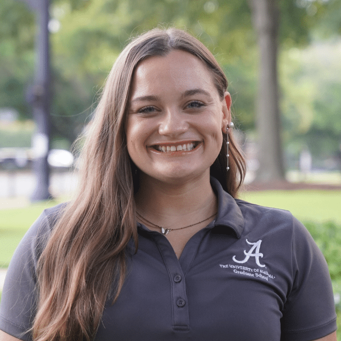


 Ken Miller Scholarship for Advanced Remote Sensing Applications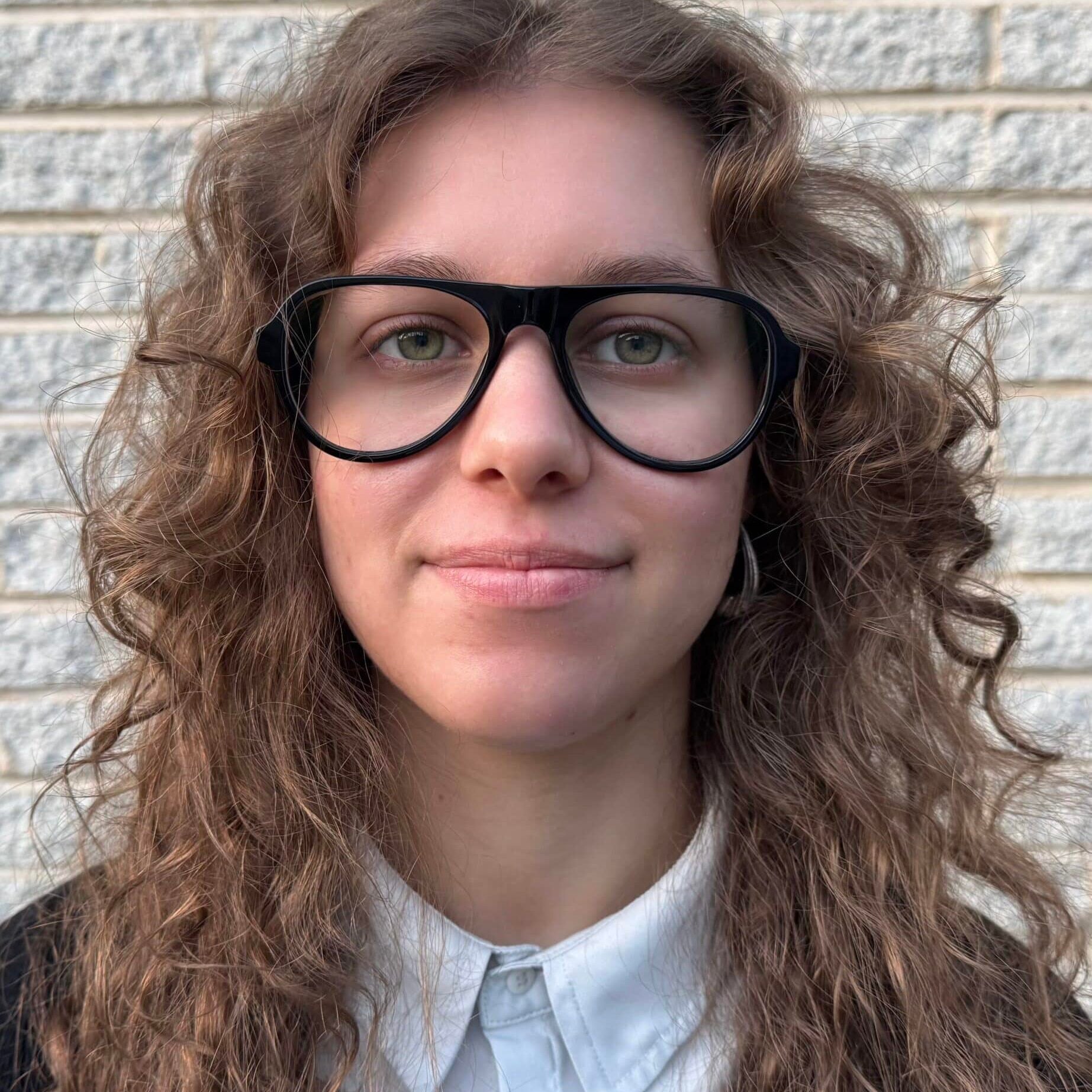




 AWS Scholarship for Leadership in GEOINT
 GDIT Horizons Scholarship
 Leidos Scholarship for AI/ML Advancement


 Westway Services Scholarship for Veterans