Where our national security begins...
Latest News
Member Exclusive: Showcase your Success on the GEOINT Symposium Main Stage
We are excited to welcome the community to GEOINT Symposium 2026, taking place May 3–6 in Aurora, Colorado. Each year…
Read More about Member Exclusive: Showcase your Success on the GEOINT Symposium Main StageUSGIF Scholarship Program Now Accepting Applications
USGIF Scholarship Applications are now open for the 2026 – 2027 academic year! USGIF awards general scholarships to graduating high…
Read More about USGIF Scholarship Program Now Accepting ApplicationsNow Accepting Lightning Talks for GEOINT Symposium 2026!
USGIF is now accepting applications to present Lightning Talks at GEOINT Symposium 2026! Lightning Talks are 5-minute presentations on a…
Read More about Now Accepting Lightning Talks for GEOINT Symposium 2026!

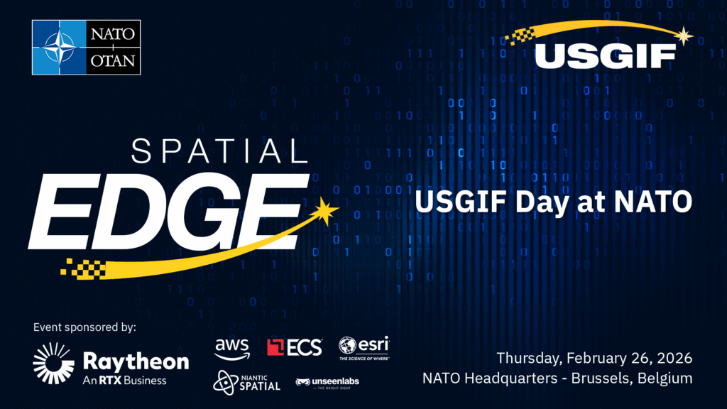
Spatial Edge: USGIF Day at NATO
A one-day event highlighting the strategic importance of geospatial intelligence (GEOINT), promoting interoperability and data sharing, and showcasing AI and em… Read More

GEOHuntsville Summit 2026: Rocket City Rising
Join the United States Geospatial Intelligence Foundation (USGIF) and GEOHuntsville for the 2026 Summit: “Rocket City Rising: The Next Frontier of Geospatial, S… Read More
Thursday, March 26, 2026
9 AM
– 3:30 PM CST
Isenberg Grand Hall
Huntsville Botanical Garden
4747 Bob Wallace Avenue S.W.,
Huntsville, Alabama
Join USGIF!
Whether you’re looking for your entire organization to join USGIF or you’re interested in an individual membership, you’ll make a difference in the GEOINT tradecraft when you become a USGIF Member.
Sign up to receive the latest news, event, and program information.
What is GEOINT?
Geospatial intelligence, or GEOINT, is the exploitation and analysis of imagery and geospatial information to describe, assess, and visually depict physical features and geographically referenced activities on the Earth. GEOINT consists of imagery, imagery intelligence, and geospatial information.
– The National Geospatial-Intelligence Agency

Build the Community - Advance the Tradecraft - Accelerate Innovation
The United States Geospatial Intelligence Foundation (USGIF) is a 501(c)(3) nonprofit educational foundation. USGIF achieves its mission through various education programs, including academic accreditation, The USGIF Scholarship Program, the GEOINT Essential Body of Knowledge (EBK), K-12 resources, and more. USGIF convenes Working Groups to advance geospatial tradecraft and organizes events to build and strengthen the GEOINT community.


