
Where our national security begins...


Upcoming Events
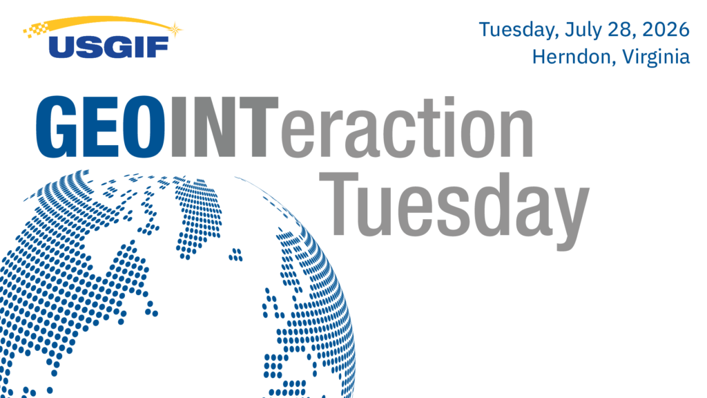
GEOINTeraction Tuesday: It’s About Automation, Not AI
As imagery collection expands across national and commercial systems, analysts are facing an unprecedented volume of data. The GEOINT community needs faster, mo… Read More
Tuesday, July 28, 2026
5:00 pm
– 7:00 pm ET
Trajectory Events Center
13665 Dulles Technology Dr #150
Herndon, VA 20171

Next Generation GEOINT: Forging Leaders
Whether you are launching your career, stepping into leadership, mentoring others, or helping shape the next generation of GEOINT professionals, this program is… Read More
Tuesday, September 15, 2026
5:00 pm
– 7:00 pm ET
Trajectory Event Center
13665 Dulles Technology Dr #150
Herndon, VA 20171


GEOINT Symposium 2027
Join 4,000+ attendees from across the GEOINT community to connect mission priorities, emerging capabilities, and the future of geospatial intelligence. Be part… Read More
Monday, May 17, 2027 – Wednesday, May 19, 2027
8:00 am
Gaylord Palms Resort & Convention Center
Kissimmee, FL
Sign up to receive the latest news, event, and program information.
What is GEOINT?
Geospatial intelligence, or GEOINT, is the exploitation and analysis of imagery and geospatial information to describe, assess, and visually depict physical features and geographically referenced activities on the Earth. GEOINT consists of imagery, imagery intelligence, and geospatial information.
– The National Geospatial-Intelligence Agency