

Emerging Tech, Ethical Innovation, and the Future of Geospatial Intelligence
On Sunday, May 18, over 500 participants gathered for GEOINT Foreword 2025. This event is the GEOINT Symposium’s pre-conference science and technology day sponsored by Esri. The event focuses on the promise and limits of emerging technologies in geospatial intelligence.
“For the next several days, we’re going to examine the diverse facets of our field, delving into its critical role in building a better future for everyone.” He added that attendees would “explore the intersection of technology and security” and engage with experts to understand how geospatial intelligence contributes to “a safer world.” – USGIF Executive Vice President Gary Dunow
Next-Gen Approaches to Natural Disasters
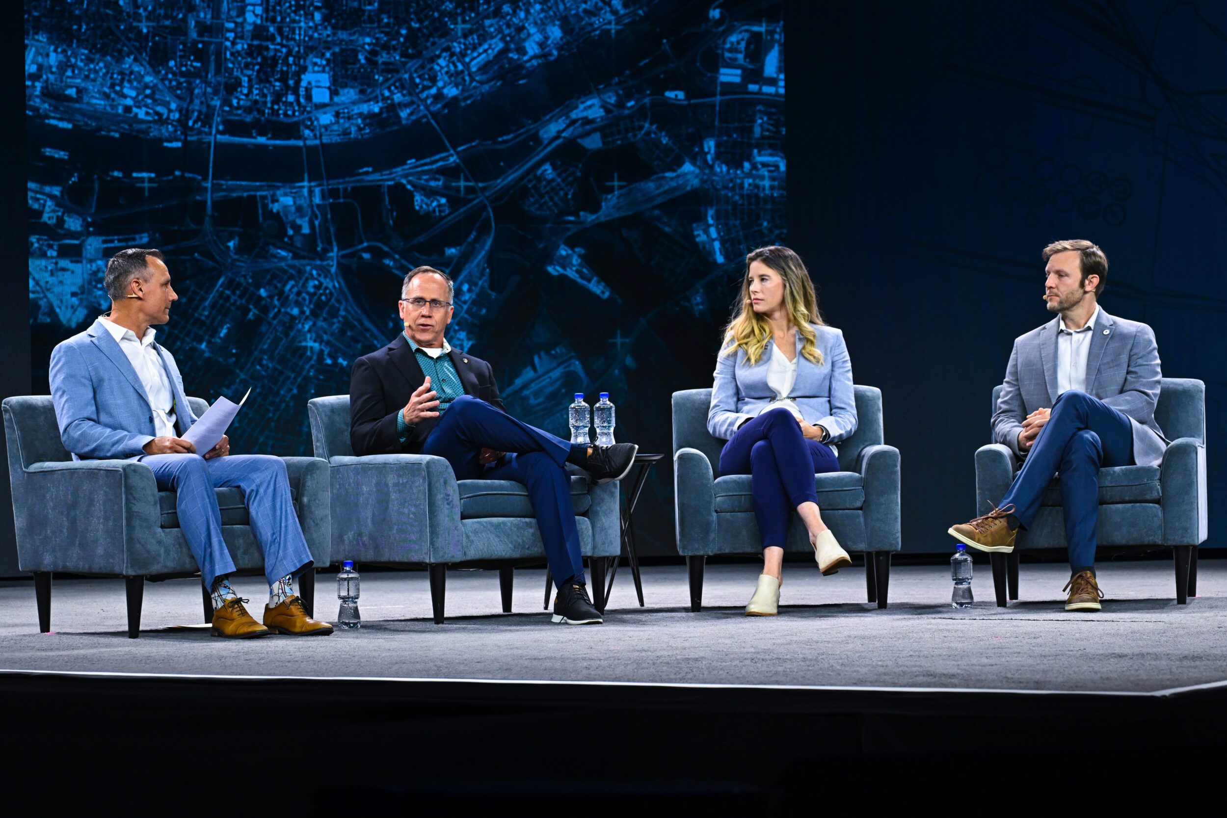
The opening panel discussion explored how emerging GEOINT technologies and business models can enhance resilience and speed decision-quality data delivery during natural disasters, with a focus on wildfires. Moderator Christopher Anthony, former Chief Deputy Director at CAL FIRE, highlighted the escalating wildfire crisis, stating,
“In just the last eight years, California has had 14 out of 20 of its most destructive fires on record,” and emphasized its global impact, calling it “not merely a California problem… It is global in scale.”
He expressed optimism that “geospatial intelligence can fundamentally change how we perceive, detect, understand, and respond to wildfires globally.” Panelists detailed GEOINT’s role in wildfire detection and damage assessment: Brian Collins, Executive Director of Earth Fire Alliance, noted that “a low Earth orbiting satellite system can give us enough overwatch” to optimize sensor placement, Madison Creedon, Director of Business Development at ICEYE US, explained how combining synthetic aperture radar with computer vision allows delivery of fire damage imagery “within hours of the fire starting,” and Johnny Dyer, Co-Founder & Chief Executive Officer at Muon Space, stressed the need to “deploy a large number of very vision tailored sensors in space … and doing that efficiently is critical” for the future.
Enhancing Capabilities with High Performance Computing
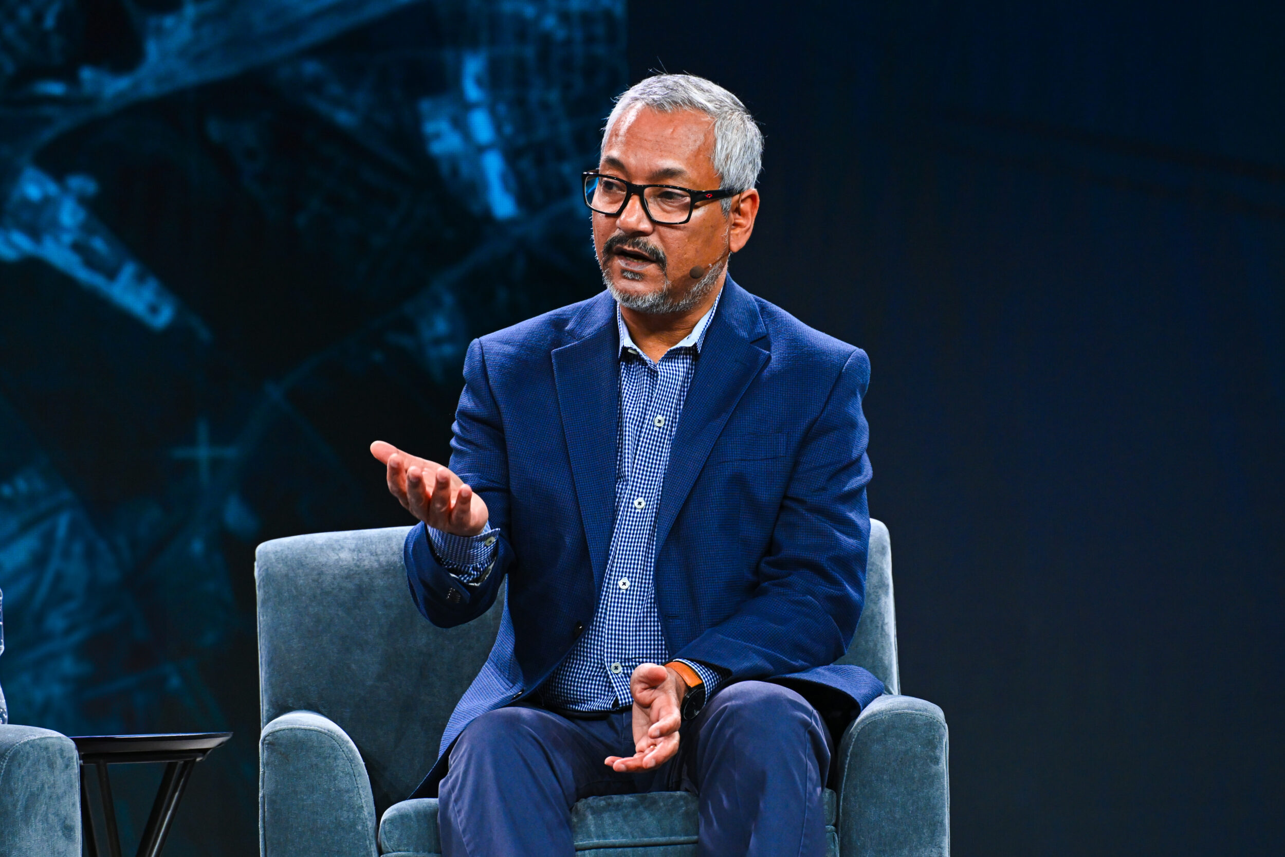
Dr. Budhendra “Budhu” Bhaduri, Director at Oak Ridge National Laboratory (ORNL), delivered a keynote on High Performance Computing (HPC), highlighting ORNL’s two decades of leading advances as the largest Department of Energy science and energy lab. He emphasized that HPC and artificial intelligence are “almost two sides of the same coin,” with significant HPC investments driving AI development. Describing GeoAI as “fueled by the enormous amount of datasets” collected over time, Dr. Bhaduri stressed HPC’s crucial role in processing complex geospatial data, enabling applications like monitoring terrain changes in Alaska and assessing conflict zone damage. Looking ahead, he stated, “HPC will continue to influence the GEOINT mission,
”…especially with emerging cloud, neomorphic, and quantum computing technologies, and envisioned a future where HPC allows “faster than real-time anticipation and prediction,” moving beyond mapping to asking, “can I predict the map? And we do it today?” signaling a transformative shift in geospatial intelligence.”
The Commercial Space Sector: What’s New and What’s Ahead
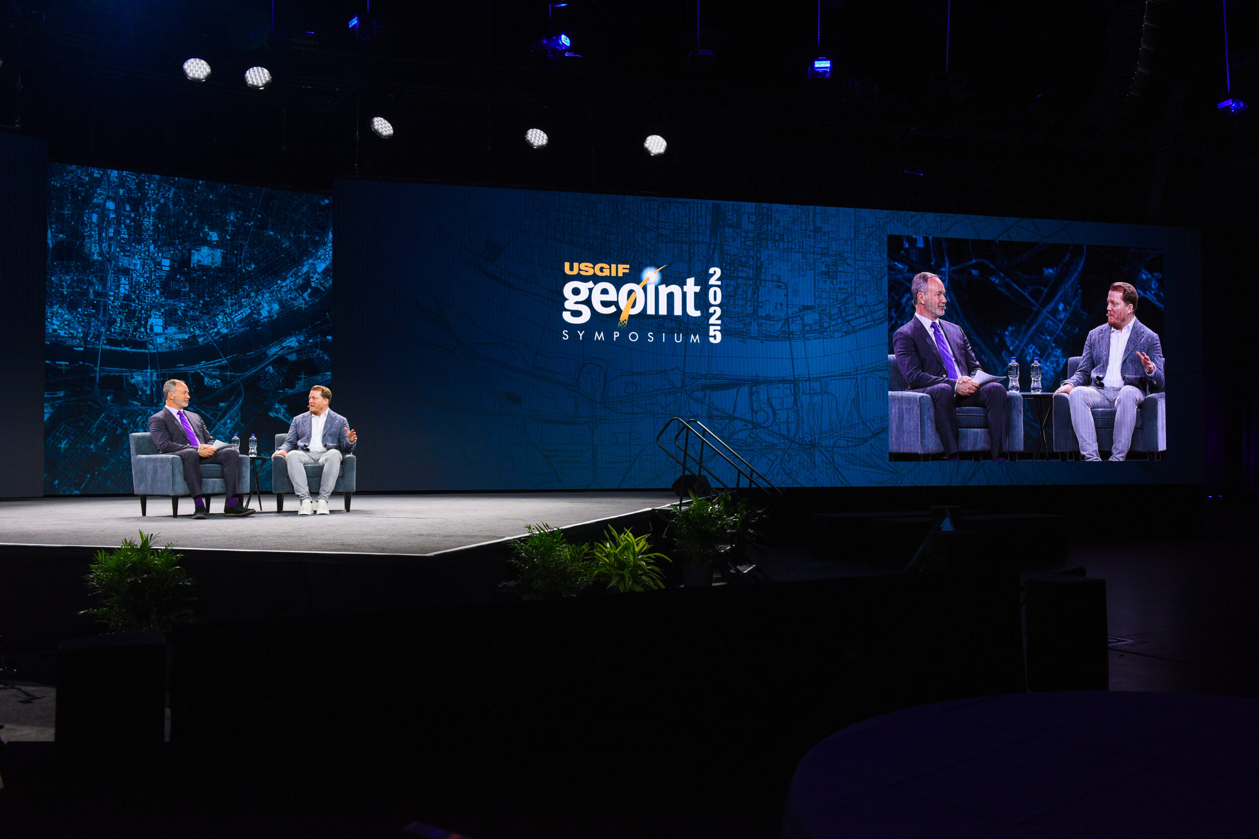
In the day’s second keynote, Chad Anderson, Managing Partner at Space Capital and Author of The Space Economy, emphasized the rapid growth and transformation of the commercial space sector, noting that
“The space economy has experienced extraordinary growth over the last decade, and really over the last five years.”
He explained that the industry now goes far beyond rockets and space stations, driven by a surge in satellites creating an “exponential increase in data from orbit,” but highlighted the challenge of making sense of this vast data without AI. Comparing this moment to the historic commercialization of GPS, Anderson said, “We believe that the history of GPS provides a framework for understanding how space-based technology has become a platform for innovation on a global scale.” He pointed to significant opportunities where space-based technology and AI intersect, including autonomous navigation, insurance claim verification, and greenhouse gas tracking, concluding,
“We believe that the intersection of geospatial intelligence and artificial intelligence is a massive area of opportunity that we are actively looking to deploy more capital into.”
Innovative Dual-Approach to Landmine Detection Earns Top Honor at GEOINT 2024 Student Poster Session
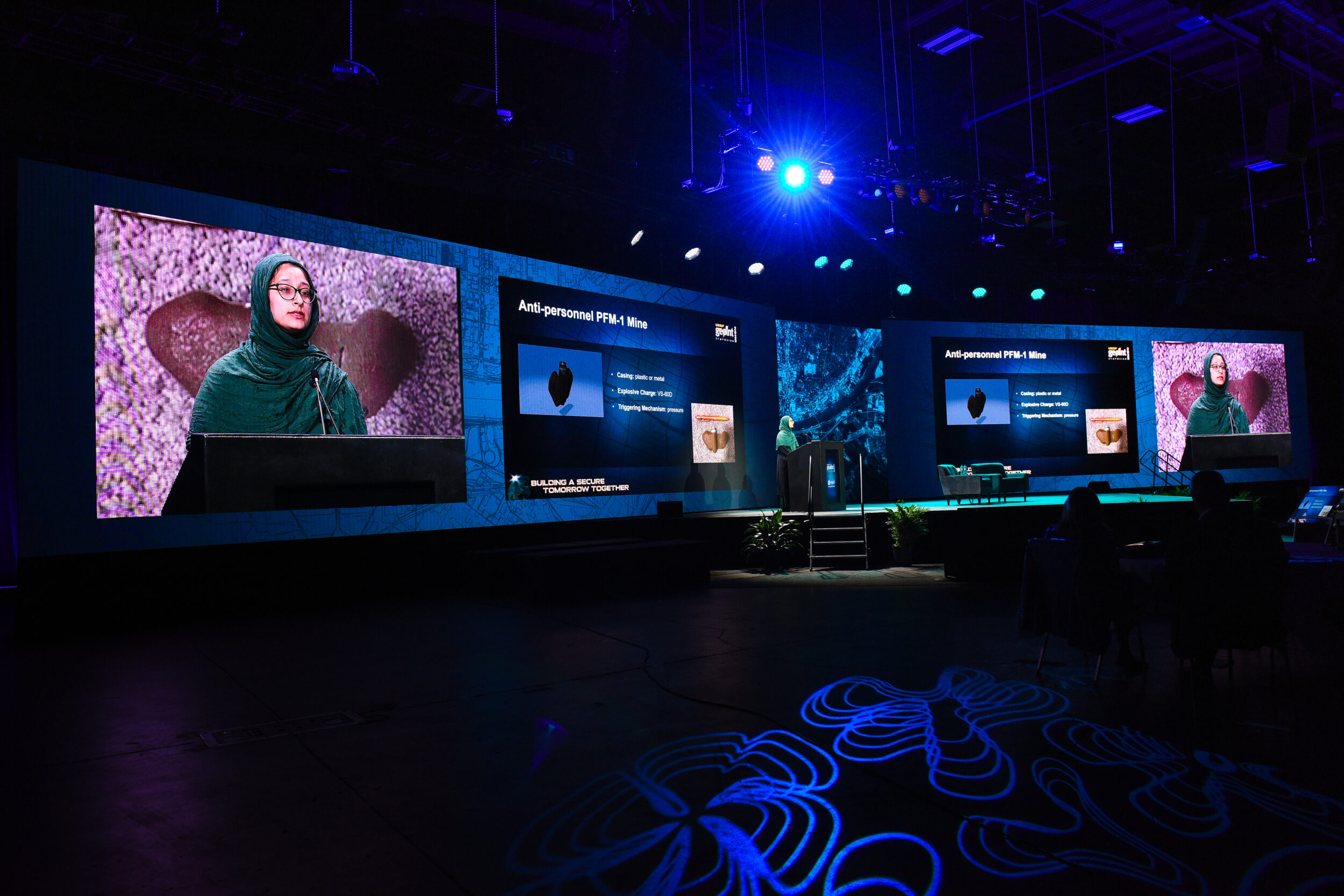
Sharifa Karwandyar, a master’s student at Binghamton University, presented research on detecting PFM-1 scatterable landmines using remote sensing and machine learning, motivated by the ongoing civilian toll:
“Landmines continue to impact civilian populations years after conflict has ended.”
Her study explored two approaches: a low-cost multispectral sensor on unmanned aerial vehicles (UAVs), which she found “was not a very feasible method as a first pass” due to the mines’ spectral similarity to the ground, and a deep learning model using RGB images (standard color images) and the You Only Look Once (YOLO) framework trained on varied inactive mine images, aided by 3D-printed replicas. She noted “the deep learning model has quite a bit of potential” despite challenges with out-of-sample data. Her work serves as a “starting point for defining the extent of areas that require clearance,” bridging technical and non-technical surveys, with plans to test deployment on edge devices to advance humanitarian demining, concluding with gratitude to the GEOINT community and collaborators.
Reviving the Spirit of Innovation: Erik Lindbergh’s Vision for Aviation, Energy, and Global Impact
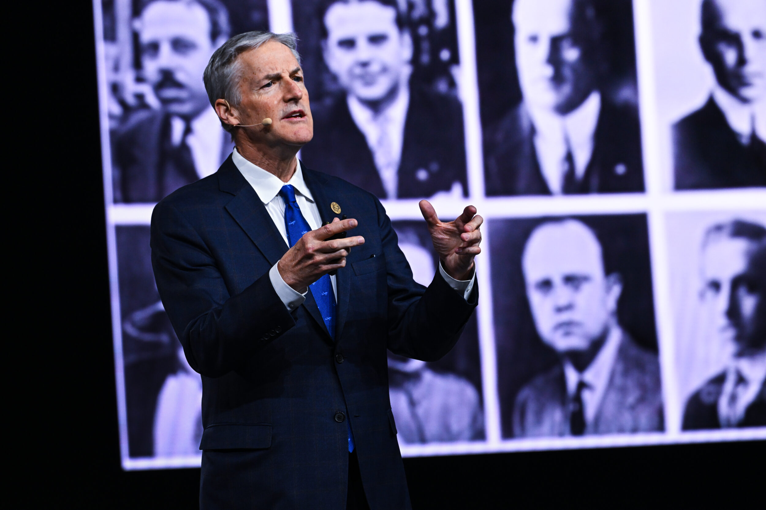
Erik Lindbergh, Chair of The Lindbergh Foundation and grandson of Charles Lindbergh, reflected on his grandfather’s 1927 transatlantic flight in the Spirit of St. Louis, which “electrified the world” and transformed aviation by turning “barnstormers and daredevils” into respected pilots and passengers, sparking rapid growth in airports, pilots, and commercial flights. He linked this legacy to the founding of the X Prize Foundation in 1996, which, with its $10 million prize, “taught us that we could change the world.”
By catalyzing private spaceflight after SpaceShipOne’s successful 2004 flights, it fueled today’s commercial space race. Looking forward, Erik emphasized the Foundation’s focus on balancing innovation with environmental care, supporting sustainable aviation fuel, STEM education, and bold projects like space-based solar power, while urging the St. Louis community to embrace this spirit through the Spirit of St Louis 100 initiative “empowering the next generation” and aiming to fund “the most impactful and audacious incentive prize ever” as they prepare to celebrate the flight’s 100th anniversary in 2027 with a global legacy of exploration and sustainability.
Congressman Wesley Bell on the Future of Ethical Innovation and National Security in Geospatial Intelligence
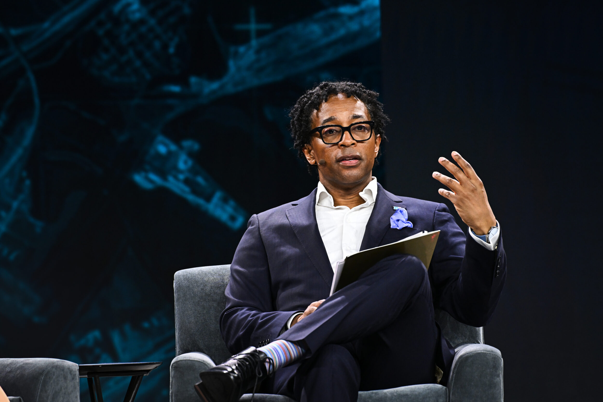
Congressman Wesley Bell opened his keynote by emphasizing St. Louis as a crucial center for innovation and national security, particularly through the NGA West facility, which he called “more than a new building or federal facility” but “a transformational investment in our region” that brings jobs, technology, and “renewed faith and what the future can be.” He described geospatial intelligence as “the connective tissue of modern security,” vital for worldwide military, humanitarian, and governmental efforts.
Bell strongly opposed proposed federal budget cuts, warning they are “about shrinking the government for ideology’s sake, no matter the cost to our safety or our future,” and vowed to fight for sustained investment in defense technology and workforce development. He highlighted inclusivity and stressed that workforce growth must “reflect the country it serves,” including “historically underrepresented communities, minority-owned businesses, and smaller firms.” He called for bipartisan cooperation, noting,
“If you’re getting up there saying, we’re just going to stick it to the other side, you’re not going to get anything done,” and encouraged young people to see geospatial intelligence as “the future,” urging regional unity because “St. Louis is a sleeping giant, and we have got to wake it up.”
Advancing GEOINT Through AI, Commercial Partnerships, and Mission-Driven Innovation
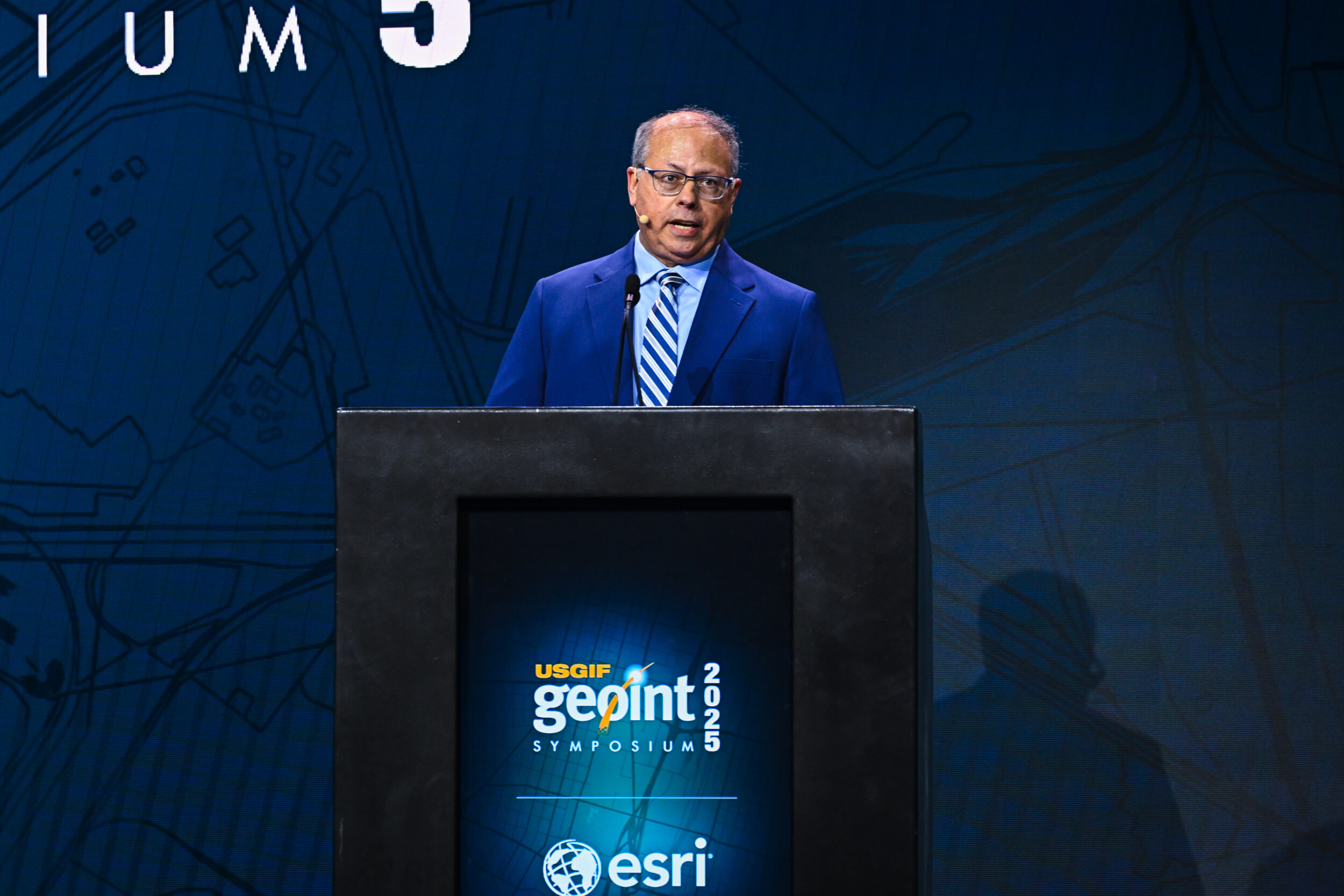
In his keynote, Brett Markham, Deputy Director at NGA, highlighted NGA’s steadfast dedication to mission success and workforce excellence amid global challenges, stating, “NGA is delivering GEOINT at the speed and scale required to enable decision advantage. Today, it is timely, it is accurate, it is relevant, and it is saving lives.” He emphasized the value of talent, saying, “Our people are pushing the boundaries of what is possible.” Markham also showcased NGA’s rapid AI advancements, proclaiming
“2025 will be the year of NGAI,” and praised commercial partnerships like Luna and Project Edgar for enhancing capabilities, noting, “Our partnership with the commercial sector provides access to a broader range of geospatial data… than a government-only solution.”
He closed by urging strengthened collaboration, affirming that “GEOINT and the GEOINT community is uniquely postured” to meet future challenges.
GEOINT Foreword Closing Remarks and Student Poster Winners Announcement
The GEOINT Foreword 2025 closing remarks highlighted opportunities for continued engagement through USGIF working groups and communities of interest. Dunow expressed appreciation for the day’s presenters and sponsors, notably ESRI. He encouraged attendees to enjoy the upcoming social events at Ballpark Village, sponsored by AWS. The session concluded with the announcement of the student poster competition winners: Ashutosh Pawar and Nirab Shrestha (3rd place), Akshaya Shyamsundar Rekha (2nd place), and Dr. Amanda Fetch (1st place). Amanda will present her work on space situational awareness at next year’s GEOINT Foreword in Colorado.
Related Articles

USGIF GEOINTeraction Tuesday Event Summary
Date: Tuesday, December 2, 2025 Speaker: Todd Johanesen, Director, Foundation GEOINT Group, NGA Todd Johanesen’s remarks showcased NGA’s efforts to create a hig…

Advancing Geospatial Intelligence Education at UNCW Through USGIF Accreditation
The University of North Carolina Wilmington’s (UNCW) Geospatial Intelligence Certificate, through its Department of Earth and Ocean Sciences, has been reac…
Registration is Open for GEOINT 2026: Why You Should Attend
The Nation’s Largest Gathering of GEOINT Professionals The GEOINT Symposium brings together more than 4,000 professionals from across the geospatial intelligenc…