
Where our national security begins...

Upcoming Events

GEOINTeraction Tuesday: Achieving Maritime Domain Dominance
Maritime Domain Awareness (MDA) is becoming increasingly critical as global threats evolve, maritime traffic expands, and governments work to strengthen securit… Read More
Tuesday, June 23, 2026
5 PM
– 7 PM ET
The Herald
1307 New York Ave NW
Washington DC 20005

GEOINTeraction Colorado
Thermal Insights from Space – Thursday, June 25, 2026 GEOINTeraction Colorado: Thermal Insights from Space will feature a panel discussion and Q&A session c… Read More
Thursday, June 25, 2026
5 PM
– 8 PM MST
Albedo Space
530 Compton Street, Suite A
Broomfield, Colorado
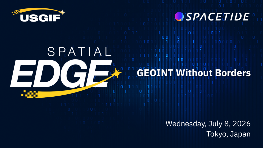
Spatial Edge: Japan
Spatial Edge: Japan: GEOINT Without Borders July 8, 2026 • Tokyo, Japan Hosted within the 2026 SPACETIDE Conference, this full-day forum brings leaders from t… Read More
Wednesday, July 8, 2026
9 AM
JST
SPACETIDE CONFERENCE
Toranomon Hills Forum
Toranomon Hills Mori Tower 5th Floor,
1-23-3 Toranomon, Minato-ku,
Tokyo 105-6305
JAPAN

Mission Focus: AI First Approaches
Artificial intelligence is moving from experimentation to everyday application across national security. For GEOINT and All-Source organizations, the focus is n… Read More
GEOINTeraction Tuesday: It’s About Automation, Not AI
As imagery collection expands across national and commercial systems, analysts are facing an unprecedented volume of data. The GEOINT community needs faster, mo… Read More
Tuesday, July 28, 2026
5 PM
– 7 PM ET
Trajectory Events Center
13665 Dulles Technology Dr #150
Herndon, VA 20171

GEOGala 2026
Join us for the GEOINT community’s premier black-tie celebration! Honoring The Honorable Stacey A. Dixon, 2026 recipient of the Lundahl-Finnie Lifetime Achievem… Read More
Thursday, December 3, 2026
5 PM
– 10 PM ET
The Ritz Carlton
1700 Tysons Blvd, McLean, VA
Sign up to receive the latest news, event, and program information.
What is GEOINT?
Geospatial intelligence, or GEOINT, is the exploitation and analysis of imagery and geospatial information to describe, assess, and visually depict physical features and geographically referenced activities on the Earth. GEOINT consists of imagery, imagery intelligence, and geospatial information.
– The National Geospatial-Intelligence Agency