

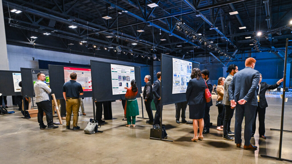
USGIF proudly recognizes the outstanding achievements of the top three winners of the 2025 Student Poster Competition, selected from an exceptional field of university researchers presenting innovative applications of geospatial intelligence. These students and their work exemplify the next generation of GEOINT thought leadership and technical expertise.
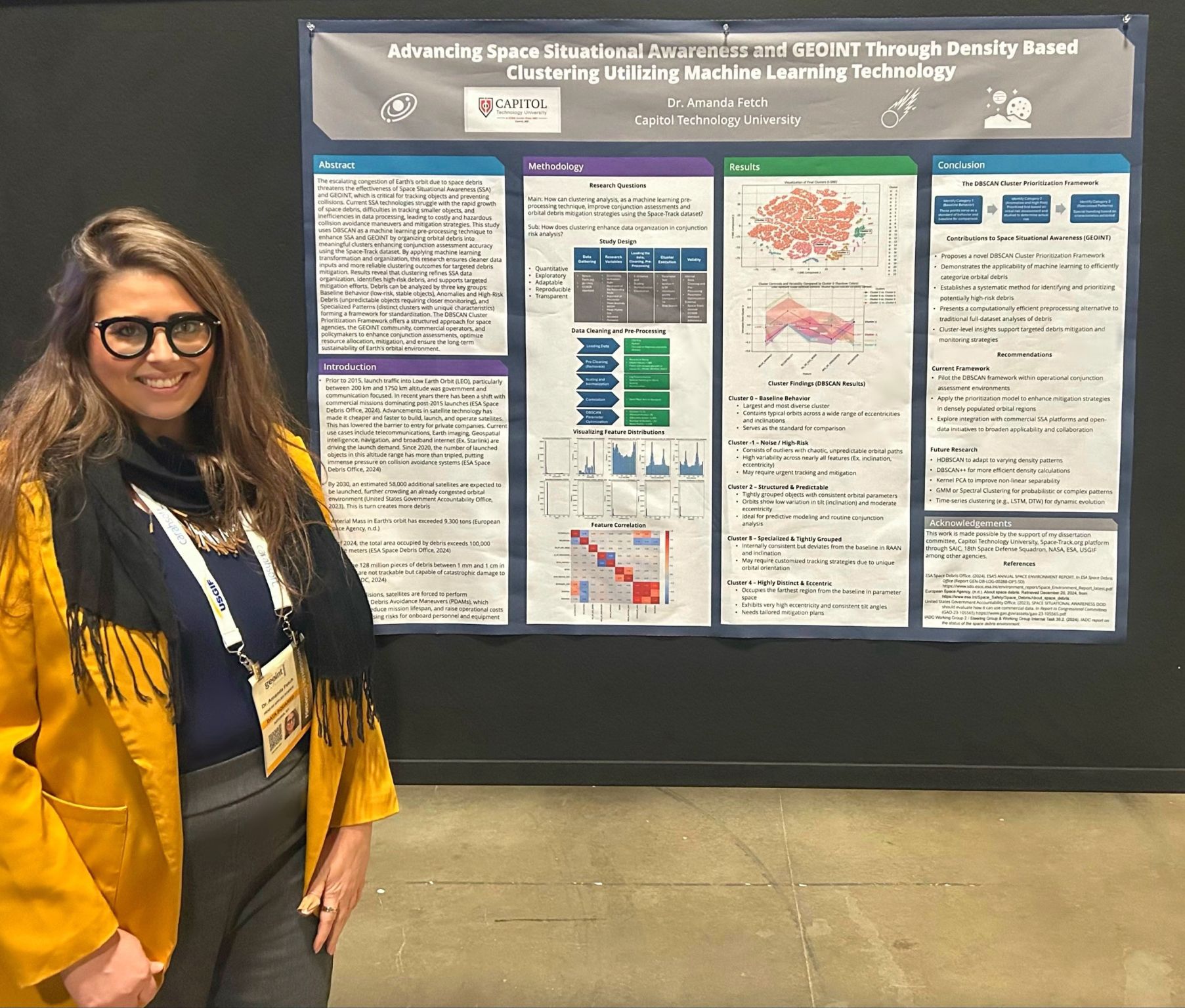
First Place: Dr. Amanda Fetch
Capitol Technology University
Dr. Amanda Fetch was awarded first place for her research tackling one of today’s most urgent GEOINT challenges: orbital congestion and space debris. Her poster, “DBSCAN Cluster Prioritization Framework for Space Debris Mitigation,” demonstrated how machine learning can enhance Space Situational Awareness (SSA) by clustering orbital debris using DBSCAN to support improved conjunction assessments and targeted mitigation. Fetch’s framework categorizes debris into three groups—Baseline Behavior, High-Risk Anomalies, and Specialized Patterns—offering a standardized approach for prioritizing resources and protecting space infrastructure.
“The recognition reaffirmed that space debris and orbital anomaly detection are urgent, real-world challenges that require immediate innovation,” said Fetch.
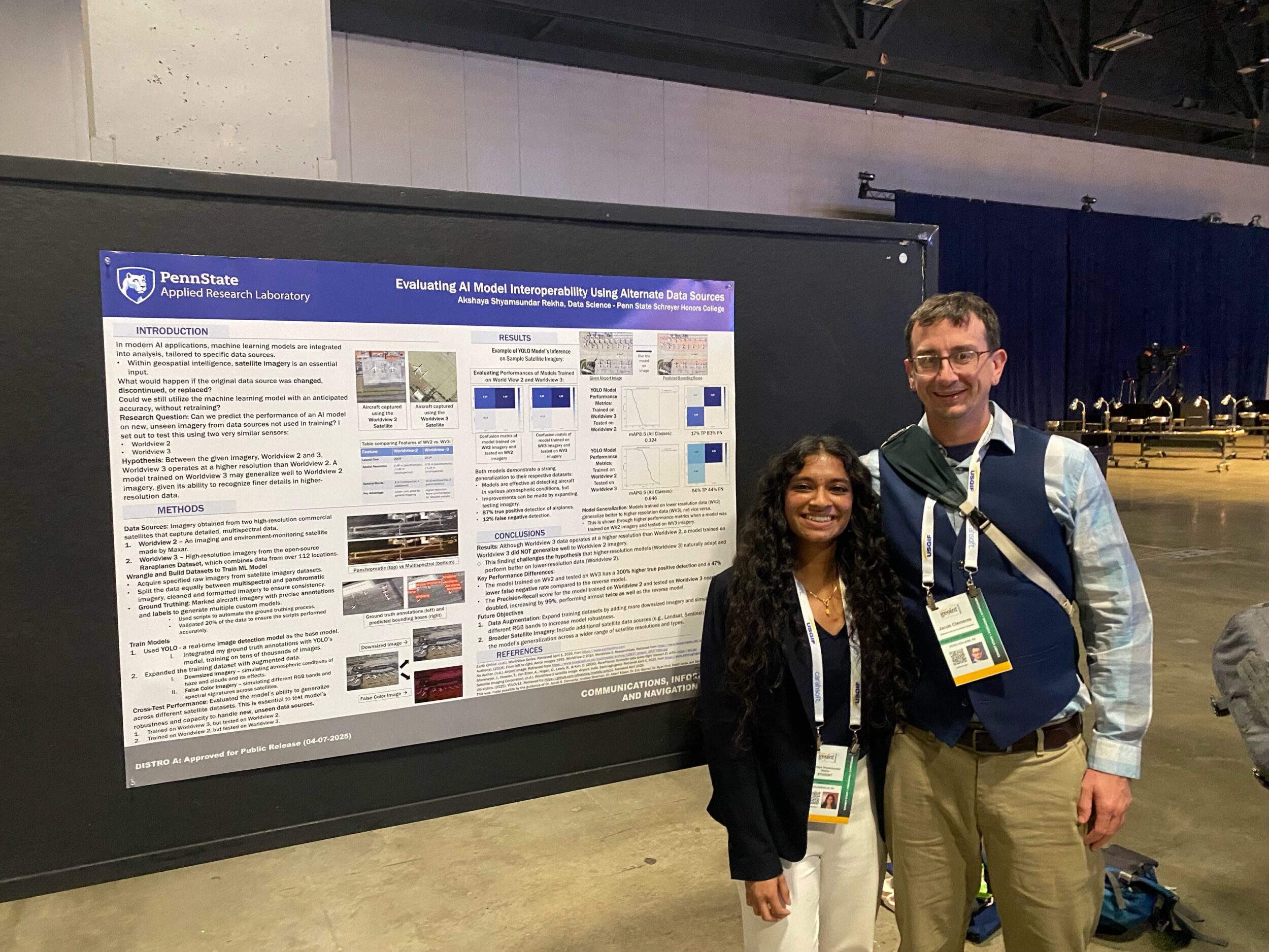
Second Place: Akshaya Shyamsundar Rekha
Pennsylvania State University
Akshaya Shyamsundar Rekha earned second place for her work on sensor interoperability in machine learning models. Her research explored how aircraft detection algorithms trained on one satellite’s imagery (WorldView-2) perform on another (WorldView-3), revealing surprising findings that coarser-resolution imagery may yield more adaptable, transferable models. Her poster, “Sensor Generalization in Aircraft Detection Using YOLO Models,” provides a foundation for building more resilient remote sensing systems in environments where sensor continuity cannot be guaranteed.
“This was a very meaningful experience that allowed me to grow both as a researcher and as a member of the geospatial intelligence community,” she shared.
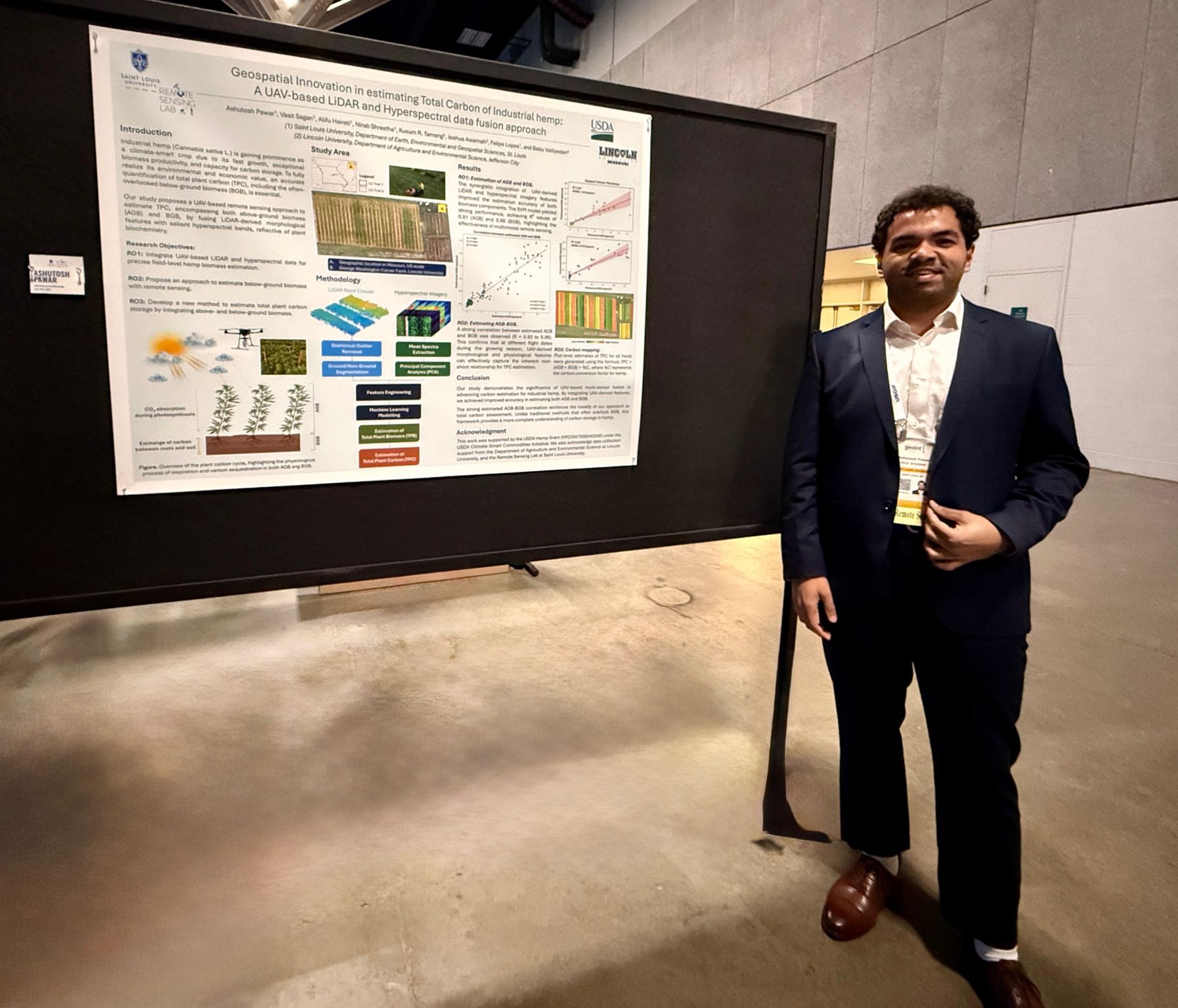
Third Place: Ashutosh Pawar and Nirab Shrestha
Saint Louis University
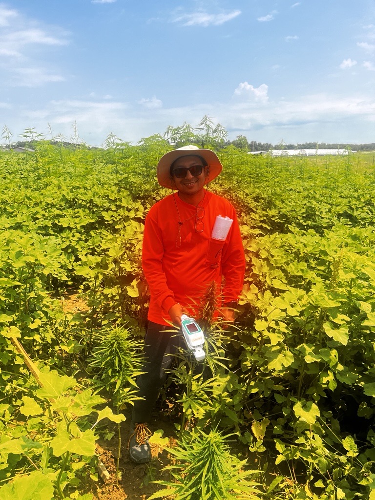
Team members Ashutosh Pawar and Nirab Shrestha secured third place for their dual-sensor approach to quantifying carbon sequestration in industrial hemp. Their poster, “Estimating Total Plant Carbon in Hemp Using UAV-Based LiDAR and Hyperspectral Remote Sensing,” used advanced machine learning and knowledge distillation to measure both above- and below-ground biomass. Their methodology demonstrated a high correlation between biomass estimates and carbon capture capacity, supporting the use of remote sensing in sustainable agriculture and climate monitoring.
“Placing third in the student poster competition validated the potential of GeoAI innovations in remote sensing. We’re motivated to push these approaches even further for global monitoring as we continue our PhD journeys,” the team stated.
Related Articles
Now Open: Student Poster Applications for GEOINT Symposium 2026
All students are now welcome to apply to present GEOINT-related research at GEOINT Symposium 2026 through the Student Poster Competition! Poster sessions take p…
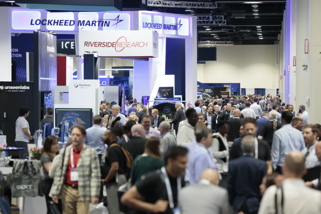
Registration is Open for GEOINT 2026: Why You Should Attend
The Nation’s Largest Gathering of GEOINT Professionals The GEOINT Symposium brings together more than 4,000 professionals from across the geospatial intelligenc…
Call for USGIF Members to Take the Stage at GEOINT 2026
For the first time, a call is being issued for USGIF members to help shape the agenda of the GEOINT Symposium. All USGIF members can now propose Keynotes, Pane…