USGIF Collaborates with John Champe High School Students
Back in February, USGIF teamed up with John Champe High School in Aldie, Va. to assist in a research project that focused on identifying pollutants in Loudoun County.
USGIF Collaborates with John Champe: Back in February, USGIF teamed up with John Champe High School in Aldie, Va. to assist in a research project that focused on identifying pollutants in Loudoun County. Working with juniors and seniors in AP environmental science and computer science, USGIF gave students an overview of GEOINT and brought in volunteers from Esri to help them visualize their projects by using Esri’s StoryMaps.
Check out the video to get an in depth look at the project-based learning (PBL) project!
John Champe Pollution Story Maps from LCPS-TV on Vimeo.
Related Articles
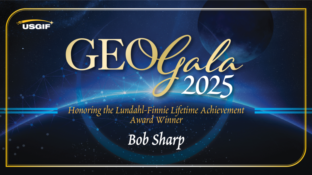
USGIF Honors Vice Admiral Robert Sharp, USN (Ret.), with 2025 Lundahl-Finnie Lifetime Achievement Award
The United States Geospatial Intelligence Foundation (USGIF) is proud to announce Vice Admiral Robert “Bob” Sharp, USN (Ret.), as the recipient of the 2025 Arth…
GEOINT Symposium 2025 Day Three Recap
GEOINT’s Next Frontier: Space Collaboration and Strategic Alignment The final general session day of the 2025 GEOINT Symposium highlighted the challenges and o…
GEOINT Symposium 2025 Day Two Recap
Forging the Future of GEOINT: Interoperability, AI, and Global Collaboration Take Center Stage The second day of the 2025 GEOINT Symposium highlighted evolvin…


