

Date: Tuesday, December 2, 2025
Speaker: Todd Johanesen, Director, Foundation GEOINT Group, NGA
Todd Johanesen’s remarks showcased NGA’s efforts to create a high-powered, dynamic digital foundational GEOINT functional environment while highlighting modernization efforts related to automation and AI/ML.
He began with an overview of Foundation GEOINT, which is one of two core functions at NGA and traces back to the Office of the Geographer’s role in the Continental Army in 1777. Foundation GEOINT supports NGA’s mission through providing up-to-date, accurate, and applicable foundational geospatial offerings across sea, land, air, and space domains. It includes data related to areas such as gravity, magnetics, coordinate systems, Global Navigation Satellite Systems (GNSS), topography, geographic names, Safety of Navigation, and much more. This breadth and depth of data allows NGA to describe the earth from the center of the planet all the way to the space domain.
Today, Foundation GEOINT at NGA includes four key domains: geomatics, geography, aeronautics, and maritime. Johanesen walked through each of these domains and discussed how Foundation GEOINT is addressing the unique mission imperatives and service-driven requirements by moving to a data-centric environment.
Geomatics – 3D GEOINT
Foundation GEOINT’s Office of Geomatics is currently building a 3D GEOINT production workflow and standard to create 3D GEOINT models and mesh textures for mission planning and simulation. This work is strongly rooted in WGS-84, GNSS, and geodetic surveys and will achieve the high accuracy that Foundation GEOINT is known for. The team expects to have the entire world mapped, in varying detail, by 2030. The standard, Real3D, will allow anyone to create a textured mesh at the same level of accuracy.
Geography – Automated Mapping
In the geography domain, Foundation GEOINT has experienced exponential growth in the ability to create and use automated maps. In the past, a cartographer would gather all the information and disparate data to develop a 1:50,000 topographic map by hand. With automation, a cartographer can program specifications into a series of algorithms, turning a months-long process into a task that takes just a few minutes. This allows cartographers to meet time sensitive mapping needs. As priorities continue to shift at a rapid pace, the Foundation GEOINT group may not have products on the shelf ready to meet those needs. However, through automated mapping, the team can rapidly adjust and put the power in the user.
Maritime – Safety of Maritime Navigation
Within the maritime mission, Foundation GEOINT is planning for the transition to a new hydrographic geospatial data standard published by the International Hydrographic Organization called the S-100, a universal hydrographic data model. This will develop a connection across diverse sources so that updates are shared to relevant groups automatically. For example, an update related to a navigation hazard could be disseminated out to all ships at sea, so all users have the latest information in their charts. The adoption of this unified model will strengthen international partnerships, reduce redundancy, and address data inconsistencies across organizations.
Aeronautics – Performance Based Navigation
Even today, most aeronautical navigation aids are 1960s-era radio devices on the ground that require increasingly routine maintenance. Foundation GEOINT is supporting a shift toward Performance Based Navigation (PBN), which involves pre-programming geospatial digital data into aircraft navigation systems. These aircrafts can then operate on any desired flight path within the coverage of ground and spaced-based navigation aids. This allows for increased efficiency and safety within airspace and more timely flights. PBN requires highly accurate data and is a global standard that all countries are working toward.
The modernization efforts described above represent improvements in GEOINT AI technology that are advancing GEOINT Foundation work.
Foundation Digital Twin
Johanesen then introduced the Foundation Digital Twin (FDT). A digital twin is a virtual and dynamic replica of a physical asset or environment that resembles and acts exactly like its real-world equivalent, with Foundation data powering that model. Digital twins are speedy, prioritize change detection and automation, and optimize customer satisfaction.
He described the FDT as a federated data environment of authoritative and non-structured geospatial content from across the Foundation GEOINT domains. At present, Foundation GEOINT data can be accessed through various producers and databases, each with their own method of access and knowledge required to use that content. The FDT strives to be data-centric and deliver agile, accurate, and globally available data from one interface that would enable customization to fit the mission.
The FDT will generate a global 3D environment that includes integrated data capability, leverages artificial intelligence and machine learning (AI/ML), and prioritizes interoperability. It will enable any user to provide time-sensitive and spatial accurate 3D representations of the Earth’s service to meet mission demand.
Development
Throughout 2025, Johanesen and the Foundation GEOINT team produced an FDT proof of concept, with the goal of demonstrating how the proposed workflows aligned across the four domains to create data that is accessible and can be viewed by anyone. The test location was in USINDOPACOM AOR. The timeline was as follows:
- September 2024 – Start 3D data production
- January 2025 – Build orthomosaics for all-domain extraction
- March 2025 – Complete data production
- May 2025 – Complete data integration and prototype
- June 2025 – Complete lessons learned review and report
Lessons Learned
The FDT proof of concept integrated five unique, freshly extracted datasets into relevant and unified geospatial content. The proof of concept AOI included about 100sq km and 40,000 buildings, and the team had 120,000 building footprints delivered by four vendors with four different schemas. In the past, three of these would have been rejected for not being up to specification and would have resulted in loss of material composition attributes and missing building footprints. Thanks to technological advances, the FDT was able to integrate all these datasets and have the correct 40,000 buildings with all the attributes.
The team learned that data centricity is not about having more data but about having all the right data and using that data to make better informed decisions. Johanesen noted that he sees data centricity, FDT, and AI as the next evolution of Foundation GEOINT taking advantage of all the tools available to them.
What’s next?
With the caveat that future plans are influenced by budget, Johanesen seeks to expand the proof of concept during this fiscal year, evaluating capabilities over a larger geographic area against greater data velocities and volumes to advance new technologies and workflows required to achieve a digital twin. They also plan to scale automatic feature extraction to all the Foundation GEOINT domains. Their third goal is to mature change detection capabilities, recognizing that universally Foundation GEOINT requires change detection to more effectively manage production.
Looking further ahead to the 2028 through 2032 timeframe, NGA plans to apply these advancements to realize new data-centric acquisitions and workflows to make the work more efficient and provide a digital twin that can meet all domain requirements.
Challenges
NGA’s Foundation GEOINT team faced many challenges throughout this proof-of-concept, both expected and unexpected. One challenge related to data holdings that were incompatible and difficult to access, as well as data updates that only occurred when products were updated. Additionally, the team hoped to incorporate true orthomosaics into their workflows and were met with cultural, specification, and workflow challenges.
They also dealt with data compression issues and getting data to flow across network. Data conflation was also a huge challenge, one that is felt across the mapping industry. Johanesen noted that there needs to be a better way to take new data and existing data and make them work together harmoniously.
They also dealt with the question of twinning rates and what the right rate is to update the digital twin. It is inefficient to twin at a higher rate than the consumer and the networks can handle, so it is about striking the right balance.
Final Thoughts
The Foundation GEOINT Group is determined to continue integrating and delivering Foundation GEOINT data to all consumers and provide the most relevant and up-to-date information in support of the mission. They are working to connect data and mission relationships across organizations to increase sharing and reduce redundant collection, processing, and storage. Finally, they are seeking to expand the idea of a digital twin by taking feature-level data from all domains to be updated and available at near real-time.
Related Articles
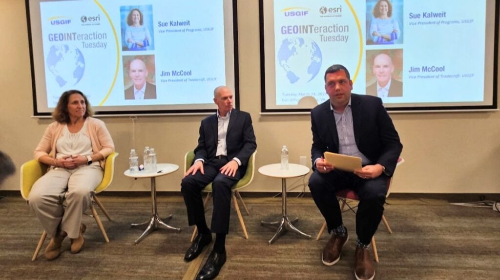
GEOINTeraction Tuesday: A Conversation with USGIF’s New VPs
On March 24, members of the GEOINT community gathered at Esri’s Tysons office for a special GEOINTeraction Tuesday featuring USGIF’s newly appointed Vice Presid…

GEOINTeraction Colorado: Data Standards, AI Integration, and the Skills That Keep GEOINT Mission-Ready
On March 19, 2026, USGIF convened the inaugural GEOINTeraction Colorado in Colorado Springs, bringing together industry professionals, Army personnel, and intel…

USGIF Welcomes Jim McCool as Vice President of Tradecraft
USGIF is pleased to welcome Jim McCool as its new Vice President of Tradecraft. Mr. McCool, CEO of McCool Team LLC, retired from government service as a Nationa…