
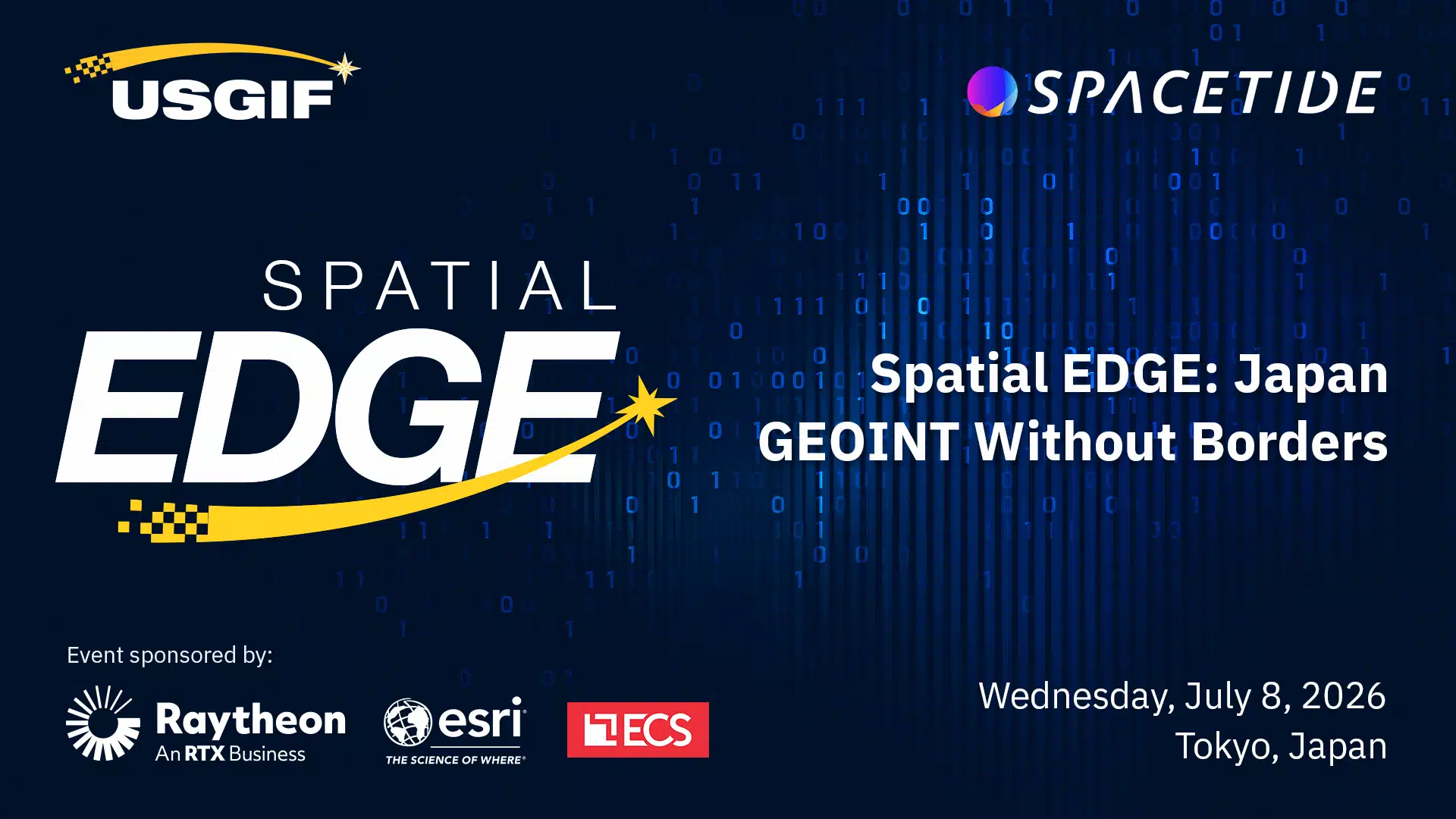
USGIF is partnering with SPACETIDE to bring a dedicated day of programming to Tokyo this summer. The USGIF track – Spatial Edge: Japan – takes place July 8 as part of SPACETIDE 2026 (July 6-9) at Toranomon Hills Forum and is included with conference registration. Registration is now open.
The track focuses on five areas sharing the future of allied GEOINT:
- GEOINT Interoperability & Data Sharing: Advancing frameworks, standards, and trust mechanisms to enable seamless exchange of geospatial intelligence across allied nations.
- AI-Enabled Analytics & Infrastructure: Leveraging artificial intelligence, cloud computing, and scalable data architectures to enhance the speed, accuracy, and impact of GEOINT.
- Allied Security & Indo-Pacific Cooperation: Strengthening shared situational awareness and decision-making capabilities to address evolving security challenges in the region.
- Civil & Commercial Applications of GEOINT: Expanding the use of geospatial intelligence beyond defense into areas such as disaster response, climate monitoring, maritime awareness, and economic security.
- Workforce Development & Future Skills: Building the next generation of GEOINT professionals through education, training, and international collaboration in an AI-driven environment.
The track is designed for senior leaders and decision-makers from government and defense, commercial space and GEOINT, research and academia, and allied and partner organizations across the Indo-Pacific.
Thank you to our sponsors: Raytheon, Esri, and ECS.
We look forward to further connecting the GEOINT community in Japan.
Spatial Edge: Japan
In partnership with SPACETIDE
📅 July 8, 2026
🕘 9:00 AM – 6:00 PM JST
📍 Toranomon Hills Forum, Tokyo, Japan
Related Articles

Kick Off 2027 at the USGIF Trajectory Event Center
Planning your team’s 2027 kickoff meeting? Discover a modern, flexible event space in Northern Virginia, just minutes from Dulles International Airport. A new y…

USGIF MLAIWG | LEADERSHIP
USGIF Announces New Leadership for Machine Learning & AI Working Group Todd Jackson steps in as Chair, joined by Vice Chairs Dr. Amanda Fetch and Tim Klawa,…

USGIF Welcomes Google Public Sector as a Strategic Partner
The United States Geospatial Intelligence Foundation (USGIF) is pleased to welcome Google Public Sector as a new Strategic Partner, expanding the company’s enga…