
LA Geospatial Summit Student Competition Winner: Most Suitably Applied Methodology or Analysis
On February 24, the USGIF-accredited University of Southern California Dornsife Spatial Sciences Institute hosted the 2023 Los Angeles Geospatial Summit. Three projects won top marks in the Student Competition.

On February 24, the University of Southern California (USC) Dornsife Spatial Sciences Institute, home to a USGIF-accredited GEOINT degree program, hosted the 2023 Los Angeles Geospatial Summit. Students from Southern California colleges and universities participated in technical workshops, attended keynote and panels discussions, and participated in student lightning talks. One of the highlights of the day was a student research competition, sponsored by Esri, during which 23 student groups presented their geospatial analysis projects as story maps. Prior to announcing the winning entries, Andrew Haglund, Esri higher education manager, noted that this year’s competition was a departure from prior years’ poster-oriented formats. He highlighted that in shifting to the cloud-based story map presentations, student projects were able to have greater reach and accessibility for users interested in the research.
We at trajectory are thrilled to further the reach of these student projects. This entry, “EV in LA: Charging Infrastructure & Accessibility” won the Most Suitably Applied Methodology or Analysis category.
Check out the other two Student Competition winners here and here.
Related Articles

USGIF Offers First Entry-Level GEOINT Certification of its Kind
USGIF is pleased to announce the addition of an entry-level geospatial intelligence (GEOINT) certification to its suite of professional designations.
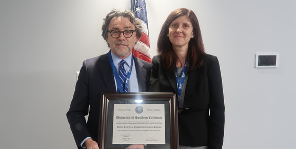
USC Offers First USGIF-Accredited M.S. in Human Security & GEOINT
The University of Southern California’s Spatial Sciences Institute has developed and is now offering the first USGIF-accredited Master of Science degree in Huma…

Delta State University Earns USGIF Collegiate Accreditation
USGIF is pleased to announce Delta State University in Cleveland, Miss., has earned USGIF Collegiate Accreditation for its Geospatial Analysis and Intelligence…