
LA Geospatial Summit Winner: Innovative Use of Technology
On February 24, the USGIF-accredited University of Southern California Dornsife Spatial Sciences Institute hosted the 2023 Los Angeles Geospatial Summit. Three projects won top marks in the Student Competition.

On February 24, the University of Southern California (USC) Dornsife Spatial Sciences Institute, home to a USGIF-accredited GEOINT degree program, hosted the 2023 Los Angeles Geospatial Summit. Students from Southern California colleges and universities participated in technical workshops, attended keynote and panels discussions, and participated in student lightning talks. One of the highlights of the LA Geospatial Summit was a student research competition, sponsored by Esri, during which 23 student groups presented their geospatial analysis projects as story maps. Prior to announcing the winning entries, Andrew Haglund, Esri higher education manager, noted that this year’s competition was a departure from prior years’ poster-oriented formats. He highlighted that in shifting to the cloud-based story map presentations, student projects were able to have greater reach and accessibility for users interested in the research.
We at trajectory are thrilled to further the reach of these student projects. This entry, “An Overview of the USC GeoHealth Hub” won the Most Innovative Use of Technology category at the LA Geospatial Summit.
For more information on the the USC GeoHealth Hub, go to: usc-geohealth-hub-uscssi.hub.arcgis.com
Check out the two other Student Competition winners here and here.
Related Articles
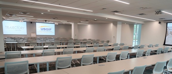
USGIF Opens State-of-the Art Trajectory Event Center
USGIF recently opened its own state-of-the-art event space, known as the Trajectory Event Center, in Herndon, Va.
USGIF Collaborates with John Champe High School Students
Back in February, USGIF teamed up with John Champe High School in Aldie, Va. to assist in a research project that focused on identifying pollutants in Loudoun C…
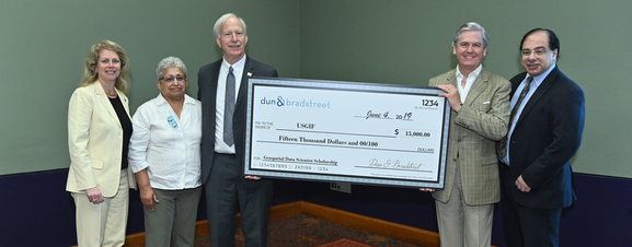
Foundation Announces New Scholarship in Partnership with Dun & Bradstreet
USGIF announced this week at its GEOINT 2019 Symposium that it has partnered with Dun & Bradstreet to offer a new academic scholarship to advance geospatial dat…