
USGIF Collaborates with John Champe High School Students
Back in February, USGIF teamed up with John Champe High School in Aldie, Va. to assist in a research project that focused on identifying pollutants in Loudoun County.
USGIF Collaborates with John Champe: Back in February, USGIF teamed up with John Champe High School in Aldie, Va. to assist in a research project that focused on identifying pollutants in Loudoun County. Working with juniors and seniors in AP environmental science and computer science, USGIF gave students an overview of GEOINT and brought in volunteers from Esri to help them visualize their projects by using Esri’s StoryMaps.
Check out the video to get an in depth look at the project-based learning (PBL) project!
John Champe Pollution Story Maps from LCPS-TV on Vimeo.
Related Articles

USGIF Reaccredits Delta State University’s GEOINT Programs Through 2031
HERNDON, Va. (July 15, 2026) — The United States Geospatial Intelligence Foundation (USGIF) and Delta State University have announced the reaccreditation of De…
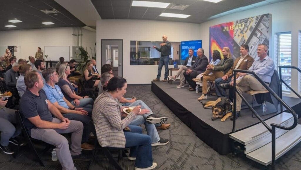
GEOINTeraction Colorado: Exploring Space-Based Thermal Insights
At USGIF’s June GEOINTeraction Colorado, USGIF’s Front Range Area Community (FRAC) of Interest gathered government and industry leaders for a discussion on spac…

USGIF Welcomes Civil Air Patrol
Herndon, Virginia (July 2, 2026) – The United States Geospatial Intelligence Foundation (USGIF) is pleased to announce Civil Air Patrol (CAP) has joined USGIF a…