
Where our national security begins...
Upcoming Events
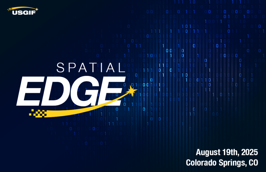
Spatial Edge – August 2025
“Unique Approaches to Emergent NORTHCOM GEOINT Missions” Join us as we learn more about NORTHCOM’s evolving mission set and where GEOINT capabilities can be app… Read More
August 19, 2025
2:00 pm
– 5:30 pm MST
655 Space Center Drive
Colorado Springs, CO 80915

Lifting Leaders – August 2025
Join us this August for Lifting Leaders, our newest leadership event series. This comprehensive meeting focuses on enhancing leadership skills and addressing th… Read More
August 20, 2025
8:00 am
– 11:00 am MST
CSU Global Campus
555 17th Street, 3rd floor
Denver, CO 80202
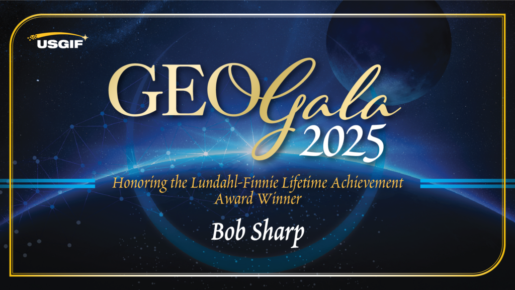
GEOGala 2025
Join us for GEOGala, the GEOINT community’s premier black-tie celebration, on Friday, December 5, 2025, at the Ritz-Carlton in Tysons, Virginia. Hosted by USGI… Read More
GEOINT Symposium 2026
Join us at the 2026 GEOINT Symposium event, where we delve into the critical role of geospatial intelligence in building a secure future in Aurora, Colorado. Ex… Read More
May 3 – May 6, 2026
8:00 am
MT
Gaylord Rockies Resort & Convention Center, Aurora, CO
Event Homepage
What is GEOINT?
Geospatial intelligence, or GEOINT, is the exploitation and analysis of imagery and geospatial information to describe, assess, and visually depict physical features and geographically referenced activities on the Earth. GEOINT consists of imagery, imagery intelligence, and geospatial information.
– The National Geospatial-Intelligence Agency