
General Session Highlights from GEOINT 2024 Day 2

The first keynote address of GEOINT 2024 day 2 was delivered by La’Naia Jones, Chief Information Officer and Director of the Information Technology Enterprise at the CIA.
She talked the audience through two “take-home points,” the essentialness of GEOINT to the greater defense and intelligence community, and the necessity to treat intelligence as a team sport.
“We have to be more of a team sport in order to face our adversaries,” Jones said, emphasizing the need for collaboration to overcome historical divisions among agencies and phenomenologies.
She later added, “Our adversaries don’t separate from each other [when they’re challenging the United States]. They bring each and every capability together to focus on one course.”
Jones said though technology has advanced significantly in the past 25 years, many of the conversations and challenges remain the same—just in a different context—such as detail analysis and sharing protocols.
One new challenge she highlighted is the multi-dimensional nature of conflict. Though CIA is not part of the DoD, they help ensure sharing across networks is smoother today than ever before. One way the agency does so is by supporting progress with the Intelligence Community’s Cloud Computing Enterprise (C2E) program.
“We may not know what the future will hold, but we have the right people and the right technology to get us there,” Jones concluded.
The GEOINT Community’s role in safeguarding space
The first main stage panel of the week explored how modern conflict and the space domain are increasingly converging.
The panelists discussed how a potential conflict in space could impact warfighters on the ground, at sea, and in the air. They also explored the pivotal role GEOINT plays in tracking threats, securing assets, and enabling dynamic space operations to safeguard warfighters and national interests.

The Honorable Marcel Lettre, a Vice President with Lockheed Martin, moderated the panel, and in his opening statements pointed to the need for the GEOINT industry to both “look down and look up.”
Tony Frazier, CEO at LeoLabs, noted how both of the recently released commercial space strategies by the Pentagon and the U.S. Space Force specifically call out many GEOINT-relevant mission areas, including SDA, tactical ISR, and assured PNT.
“These are all areas where commercial cannot just be an augmentation but be deeply integrated into the architecture,” Frazier said.
Frazier also emphasized that Great Power Competition is extending into space, sharing that China, Russia, Iran, and North Korea collectively have 1,000 satellites on orbit making upward of 11,000 maneuvers each month.
“That’s creating a need to persistently sense that activity then characterize it,” he said.
The need to not just catalogue but to characterize space objects was echoed by Ken Handelman, Director for Defense Intelligence (Operational Support and International Partnerships) with the Office of the Under Secretary of Defense (Intelligence and Security).
“We’ve done a huge job with the sensing piece,” Handelman said, adding the community needs to “work harder on the making sense piece—and then getting it out to the warfighter.”
Fostering international collaboration and innovation
Scott Bray, Assistant Secretary General for Intelligence and Security at NATO, made his GEOINT Symposium debut with a keynote address on GEOINT 2024 Day 2 focused on how national efforts contribute to a strong, successful NATO alliance.
“The role and value of GEOINT is absolutely critical for our national and international security,” Bray said. “And we need to stand together and work together as

Allies and like-minded partners to further build our GEOINT capabilities.”
According to Bray, the continuing Russian war against Ukraine demonstrates the need and decisive role of intelligence derived from space data, products, and services.
“As authoritarian powers increasingly align, NATO and its partners must stand united to defend a global order governed by law, not by force,” he said. “For this, timely access to geospatial intelligence at a global scale is essential.”
Bray described how working closer with the private sector and academia to preserve and advance our technological edge is a pillar of the NATO 2030 agenda.
“Geospatial Artificial Intelligence, or GeoAI, is a key area [for this agenda], which will revolutionize the way we look at GEOINT in the future,” Bray said. “Spatial machine-learning algorithms and deep learning techniques have become extremely powerful, fueled by unprecedented computing power.”
He predicted that leveraging these technologies on large collections of imagery or geospatial data will enable allies to greatly improve the intelligence production cycle through applications like automated change detection in areas of interest, socio-economic analysis, maritime safety, analysis of space and cyber events, and more.
Bray concluded by reiterating the need for allies to work closely with both one another and the commercial sector, highlighting the Defense Innovation Accelerator for the North Atlantic (DIANA) as the ideal initiative for that.
GEOINT as a team sport

The final main stage session of the day was a panel discussion exploring both the opportunities and challenges associated with democratizing the GEOINT tradecraft.
This industry is not about competition or replacement; it’s about cultivating that team nature, said USGIF Board Chair Robert Cardillo.
With the rise of AI and the ever-evolving technology landscape, the panel stressed the importance of recognizing automation has its place but is no replacement for human-driven analytics.
The panelists also discussed workforce development and training. The problem isn’t recruiting data-literate personnel, they said, it’s about keeping them motivated and challenged.
Another trend is the democratization and distribution of GEOINT capabilities—not just through NGA, but via the services, the commands, and the private sector who all have access to geospatial technology and capabilities.
Related Articles

USGIF Reaccredits Delta State University’s GEOINT Programs Through 2031
HERNDON, Va. (July 15, 2026) — The United States Geospatial Intelligence Foundation (USGIF) and Delta State University have announced the reaccreditation of De…
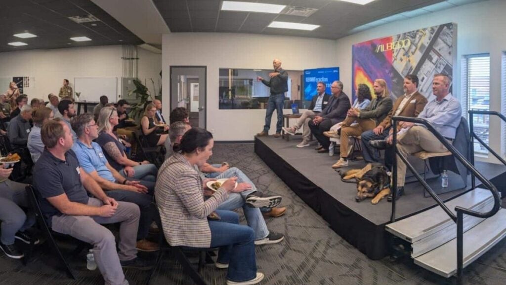
GEOINTeraction Colorado: Exploring Space-Based Thermal Insights
At USGIF’s June GEOINTeraction Colorado, USGIF’s Front Range Area Community (FRAC) of Interest gathered government and industry leaders for a discussion on spac…

USGIF Welcomes Civil Air Patrol
Herndon, Virginia (July 2, 2026) – The United States Geospatial Intelligence Foundation (USGIF) is pleased to announce Civil Air Patrol (CAP) has joined USGIF a…