On May 5, more than 600 people attended GEOINT Foreword, the GEOINT Symposium’s pre-conference science & technology day sponsored by Esri. GEOINT Foreword is meant to explore both the potential and the limitations of leading-edge technology relevant to the GEOINT Community.
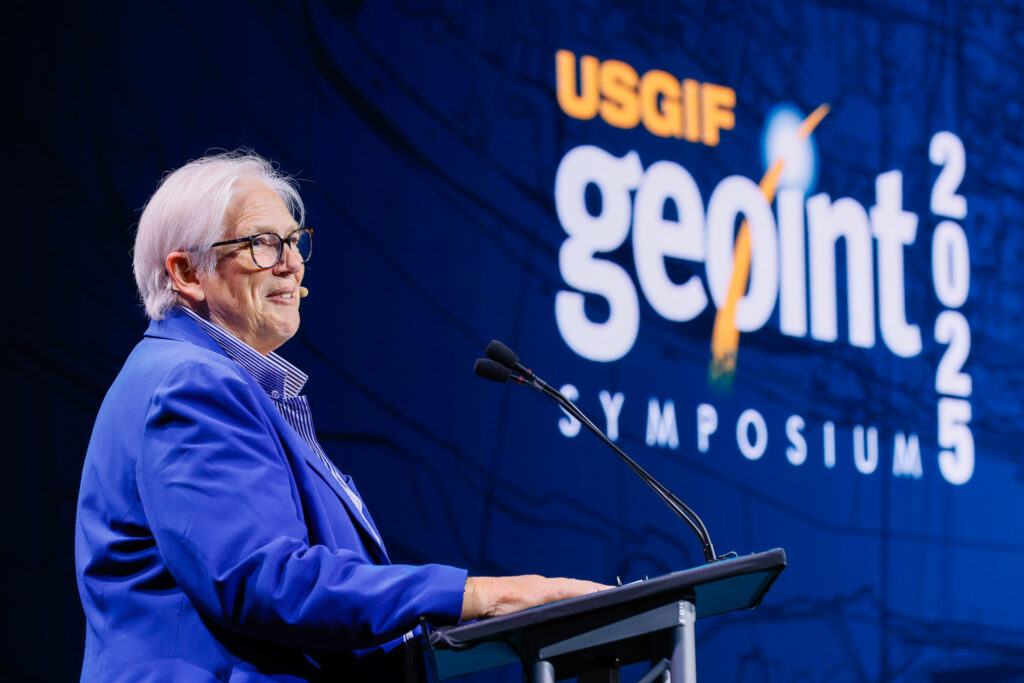
“It’s not enough for us to develop disruptive tech. It’s not enough for us to figure out how to use disruptive tech,” said Christy Monaco, USGIF VP of Programs, during her opening remarks. “We must also think critically about the tech early on so we can understand how it might mature and how we must take responsibility for its use.”
Shepherding innovative R&D across the “valleys of death”
The first GEOINT Foreword speaker was Peter Highnam, Ph.D., Principal Deputy, Critical Technologies, Office of the Under Secretary of Defense for Research and Engineering.

Highnam prefaced his remarks by highlighting that U.S. adversaries are well-resourced and determined. He specifically called out China, noting there’s little daylight between the private sector and the military. He referenced The U.S. National Defense Science & Technology Strategy 2023 as underscoring the importance of having a strong R&D ecosystem among industry. According to Highnam, companies that develop critical technologies must cross three proverbial “valleys of death” to succeed: lab to prototype; prototype to product; and product to scale.
He described commercial space technologies and quantum science as examples of fields that have experienced major shifts in recent years that affect DoD’s mission and specifically support GEOINT.
“Commercial space a decade ago was only just getting into the game,” Highnam said. “Now, it’s very much a part of our conversation.”
With regard to quantum, Highnam highlighted sensors and clocks as ready for maturation and fielding.
“There’s so much S&T available that’s coming online that affects GEOINT worldwide.”
Quantum technology’s double-edged sword
Quantum technology continued to emerge as a thread throughout GEOINT Foreword.
During a panel discussion titled “Quantum Leap in Geospatial Intelligence,” moderator Sean Batir, CTO for NGA’s Maven Program, shared an analogy the panelists had discussed backstage: “One can think of quantum computing like [the principle of] Yin and Yang. The Yin is meant to refer to the quantum compute solution, the

substrate on which you can actually do the operations. And the Yang refers to that security element—post-quantum encryption.”
“We expect to be in the fault-tolerant [quantum computing] regime between 2029 and 2033,” predicted Joseph Broz, Ph.D., VP for Quantum Growth and Market
Development at IBM. “That’s where we become resource relevant to some very outstanding problems. Right now we’re in an era of utility. And we’re moving toward the era of quantum advantage.”
On the other side of that coin, the defense and intelligence communities need to prepare for adversaries to have quantum computers strong enough to break classic cryptography. Gina Scinta, Deputy CTO at Thales TCT, warned of adversaries storing data now to decrypt it later. Scinta emphasized the need for cryptographic agility—migrating to post-quantum algorithms while still supporting classic algorithms.
 During the “PNT Beyond GPS” panel discussion, quantum sensing—which is distinct from quantum computing—was also front and center as panelists discussed the importance of enhancing, augmenting, and backing up U.S. GPS capabilities.
“Standardization is key,” said Lloyd Dabbs, Director of Public Sector Business Development at SandboxAQ. “The big component when we talk about resiliency is ensuring not just the U.S., but our allies are on a common standard.”
J.N. (Nikki) Markiel, Ph.D., Senior GEOINT Authority for Geomatics at NGA, spoke about the use of Earth’s magnetic anomalies as a source for positioning, navigation, and timing. “Crustal magnetics is certainly a viable solution set,” Markiel said, especially because it is “unjammable.” The challenge is in assembling the necessary worldwide data.
“It took us 70 years to assemble the world’s finest collection of geographic data,” Markiel continued. “How many years will it take us to assemble the world’s finest collection of crustal magnetic data? It can be done but it’s a question of time, money, and choice.”
Another nascent technology discussed at GEOINT Foreword was generative AI. Its advent presents endless opportunities for “Geo-GPT” capabilities, including

language processing, computer vision, and spatial reasoning, according to panelists discussing “Geo-GPT” for Real-Time Geospatial Discovery.”
Multi-modal integration of AI models can enhance the accuracy of geospatial conversational AI experiences. This will help facilitate interactive exploration for
GEOINT planning and response missions, utilizing generative AI’s capabilities in planning, reasoning, and interacting.
The cyber-location nexus
Dare King, Chief Operating Officer of the CIA’s Center for Cyber Intelligence (CCI), gave the final speech of the day and shared how GEOINT plays a leading role in cyber threat mitigation and analysis.
 King differentiated CCI from the CIA’s cybersecurity office, which protects the agency’s networks. CCI serves as the “CIA cyber mission manager,” focusing on specific U.S. adversaries—the “big four” of China, Russia, Iran, and North Korea—and global cyber crime.
“What they all have in common is that they target you,” King said. … “They want your data for counterintelligence, tracking, targeting. … They want influence to push propaganda and misunderstanding.”
She described how GEOINT helps with locating the source of threats via physical and temporal data: “Hackers have locations. Servers have locations. And foreign intelligence actors have locations.”
King concluded: “We have to change our business models to make it easier for our partners in the private sector to work with us. … The only way to keep up with our adversaries is to work together.”
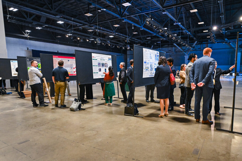
During closing remarks, Monaco announced the winners of USGIF’s Student Poster Competition, which occurs each year during GEOINT Foreword:
- First place: Sharifa Karwandyar from Binghamton University: “Addressing the Dynamic Nature of Scatterable Mines: A Hyperspectral and Machine Learning Framework.”
- Tied for second place: Esther Oyedele from Virginia Tech: “Disappearing of Lake Powell: Clues and Remedies from Integrated Analysis of InSAR Deformation and Climate Data”
- Tied for second place: Valeria Martin Hernandez from University of West Florida: “Creation of a Dataset for Deep Learning Driven Forest Wildfire Detection”
Karwandyar will be invited to present her research at GEOINT Foreword next year in St. Louis, Mo.
Related Articles
USGIF Celebrates 2025 GEOINT Symposium Student Poster Winners
USGIF proudly recognizes the outstanding achievements of the top three winners of the 2025 Student Poster Competition, selected from an exceptional field of uni…
USGIF Honors Vice Admiral Robert Sharp, USN (Ret.), with 2025 Lundahl-Finnie Lifetime Achievement Award
The United States Geospatial Intelligence Foundation (USGIF) is proud to announce Vice Admiral Robert “Bob” Sharp, USN (Ret.), as the recipient of the 2025 Arth…
GEOINT Symposium 2025 Day Three Recap
GEOINT’s Next Frontier: Space Collaboration and Strategic Alignment The final general session day of the 2025 GEOINT Symposium highlighted the challenges and o…


