
USGIF 2005 Awards Program: OAK HILL, VA -At the Hall of Fame Awards Dinner held last night at GEOINT 2005 in San Antonio, the United States Geospatial Intelligence Foundation (USGIF) recognized recipients of the 2005 USGIF Awards Program.
This year’s recipients are John Gutraj, PMLS (Academic Achievement Award); a team from the Satellite Positioning and Inertial Navigation Lab of Ohio State University (Research Achievement Award); Afghanistan/Pakistan Border Project Team of the National Geospatial Intelligence-Agency (Government Achievement Award); Mr. Mark Ingersoll and Mr. Todd Ham from Harris Corporation for their Streaming Imagery on Low Band Width Devices and Consolidated Systems Initiative projects (Industry Achievement Award); Captain Chip Carr, Geospatial Analyst and Team Lead for a Joint Task Force, US Army Geospatial Intelligence Special Operations Command to Iraq (Military Achievement Award); and the late William R. Allder, Jr, Director, Strategic Transformation Office, NGA (Lifetime Achievement Award).
“On behalf of the USGIF membership and board of directors, I congratulate the achievements of these distinguished Awards Program winners,” said K. Stuart Shea, chairman of the board of directors, USGIF. “Their commitment to advancing the geospatial intelligence tradecraft in the public, private and government sectors is to be commended.”
The USGIF sponsors three Awards Programs to recognize influential and innovative members of the geospatial intelligence community. The annual Geospatial Academic Achievement Award commends the achievements of the top graduate of a nationally recognized Geospatial Intelligence academic program as well as the organization that demonstrates the top geospatial intelligence research program or project. The Geospatial Intelligence Achievement Award recognizes outstanding achievement in the tradecraft by an individual or team from each of three sectors: government, industry, and military. The Lifetime Achievement Award is presented, upon selection by the USGIF board, to an influential member of the geospatial intelligence community.
Specifically, this year’s Awards Program recipients received recognition for:
USGIF 2005 Awards Program: Lifetime Achievement -Mr. William R. Allder, Jr.’s 33-year career spanned the defense, intelligence and civilian mapping and imagery communities where he helped transform the government’s mapping agency from a paper world to the digital age. At the NGA, formally the National Imagery and Mapping Agency, his responsibilities included leading the agency’s efforts to stay on the cutting edge of mapping and imagery technology. Prior to this he worked with the National Ocean Services, the U.S. Geological Survey, the Defense Mapping Agency, and the Central Imagery Office. He received the Department of Defense’s Presidential Rank Award in 1999, and twice received the Distinguished Executive Award in 2001 and 1999. Mr. Allder passed away on May 7, 2005.
Academic Achievement -Mr. Gutraj graduated from the Geospatial Intelligence Training Program with 96.4 GPA. He is the first person ever to be awarded the Human Development Shining Star Award, while still a student. A recognized team player, Gutraj developed a learning database used to catalog and link the equipment used in the course. The project was such a success that he was invited from St. Louis to Washington, DC to teach NGA instructors how to use the database. His commitment to the craft is exemplified by his ability to graduate in the top 10 percent of his class following an extended medical absence during his coursework.
Research Achievement -A team from the Satellite Positioning and Inertial Navigation Lab of Ohio State University, led by Ms. Dorota Grejner-Brzezinski, focused its research on a personal navigator relevant to national security. Since GPS, commonly used for navigation by military/emergency personnel, is a line-of-sight system and is subject to interference/jamming, the signal coverage is not guaranteed anytime/anywhere. Ms. Grejner-Brzezinski team’s research is aimed at prototyping a seamless and reliable personal navigator based on intelligent fusion of multi-sensory data, using state-of-the-art sensors and algorithmic approaches in an open-ended architecture, to ensure the system’s continuous operations in urban and indoor environments.
Government Achievement -The Afghanistan/Pakistan Border Project Team, led by Mr. K. Michael Harris, used innovative geospatial intelligence solutions to meet critical operation needs by directly supporting troops engaged in the Global War on Terrorism. They demonstrated dedication in precisely positioning 341 border crossing points and accurately portraying Afghanistan’s international borders. The team supplied current commercial imagery and feature data to military customers as well as a web page to host tables of information and links to image products and textual descriptions
Military Achievement -As an Army Reservist assigned to NGA, Captain Chip Carr volunteered to deploy with Special Operations Command to Iraq as Geospatial Analyst and Team Lead for a Joint Task Force. Captain Carr served as the Team Lead for the first NGA team at this site and as such was charged with introducing GEOINT into the team’s established intelligence cycles. Captain Carr produced, delegated, and managed hundreds of short suspense, classified GEOINT products in support of the Task Force, where no two products were the same nor did the data come form the same sources. It required Captain Carr’s knowledge of systems at NGA, DIA, CIA and commercial sources to find the appropriate data for the situation.
Industry Achievement -The Harris Corporation Team of Mr. Mark Ingersoll and Mr. Todd Ham developed a prototype streaming imager capability to enable unclassified imagery to be sent outside the continental U.S. over limited Internet communications paths and applied it to the Hurricane Katrina crisis. Ingersoll and Ham also developed a classified system known as the Consolidated Systems Initiative for providing an easy to use webbased interface for users on JWICS to create and view 38+ imagery-derived MASI NT products seamlessly integrating a wide variety of systems.
Foundation members and the Board of Directors, as well as federal, state, and local government organizations and academic institutions were involved in nominating individuals and teams for these awards. Collectively, these programs recognize the substantive achievements of a variety of individuals and organizations, from promising students to high-achieving corporate, government, and military teams, and individuals who have demonstrated a lifetime of leadership in the geospatial intelligence field.
“The USGIF Awards Program exists to recognize the outstanding contributions professionals, companies and government agencies have made to the geospatial intelligence tradecraft,” Shea said.
The United States Geospatial Intelligence Foundation is a Virginia-based nonstock, not-forprofit corporation. The Foundation is dedicated to promoting the geospatial intelligence tradecraft and developing a stronger community of interest between government, industry, academic and professional organizations and individuals who share a mission focus around the development and application of geospatial intelligence data and geo-processing resources to address national security objectives. For more information on the Foundation, visit www.usgif.org. Download the Jldf 11ress release. You must be logged in to comment.
Related Articles
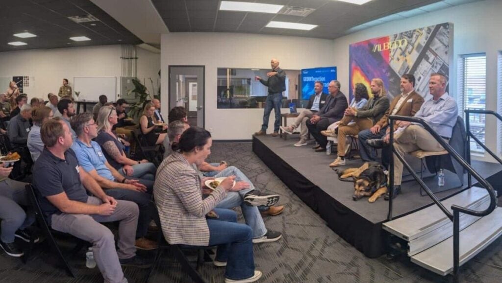
GEOINTeraction Colorado: Exploring Space-Based Thermal Insights
At USGIF’s June GEOINTeraction Colorado, USGIF’s Front Range Area Community (FRAC) of Interest gathered government and industry leaders for a discussion on spac…

USGIF Welcomes Civil Air Patrol
Herndon, Virginia (July 2, 2026) – The United States Geospatial Intelligence Foundation (USGIF) is pleased to announce Civil Air Patrol (CAP) has joined USGIF a…

Turning Maritime Awareness Into Decision Advantage
At USGIF’s June GEOINTeraction Tuesday, U.S. Coast Guard Assistant Commandant for Intelligence Steven Griffin called for a faster “detect-to-act” approach to ma…