
USGIF Collaborates with John Champe High School Students
Back in February, USGIF teamed up with John Champe High School in Aldie, Va. to assist in a research project that focused on identifying pollutants in Loudoun County.
USGIF Collaborates with John Champe: Back in February, USGIF teamed up with John Champe High School in Aldie, Va. to assist in a research project that focused on identifying pollutants in Loudoun County. Working with juniors and seniors in AP environmental science and computer science, USGIF gave students an overview of GEOINT and brought in volunteers from Esri to help them visualize their projects by using Esri’s StoryMaps.
Check out the video to get an in depth look at the project-based learning (PBL) project!
John Champe Pollution Story Maps from LCPS-TV on Vimeo.
Related Articles

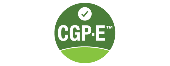
USGIF Offers First Entry-Level GEOINT Certification of its Kind
USGIF is pleased to announce the addition of an entry-level geospatial intelligence (GEOINT) certification to its suite of professional designations.
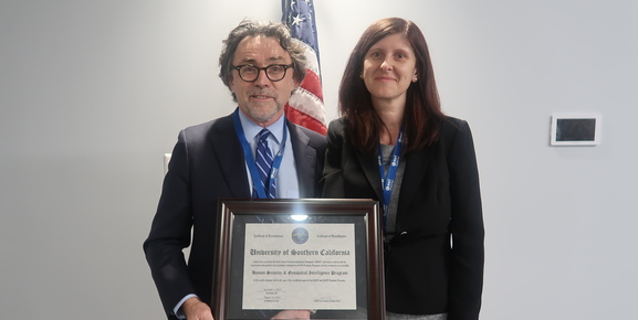
USC Offers First USGIF-Accredited M.S. in Human Security & GEOINT
The University of Southern California’s Spatial Sciences Institute has developed and is now offering the first USGIF-accredited Master of Science degree in Huma…