USGIF Releases Modeling, Simulation, and Gaming Technical Paper
Advancing the Interoperability of Geospatial Intelligence Tradecraft with 3D Modeling, Simulation, and Game Engines

Modeling, Simulation, and Gaming: The USGIF, in cooperation with the Open Geospatial Consortium (OGC), published a technical paper, Advancing the Interoperability of Geospatial Intelligence Tradecraft with 3D Modeling, Simulation, and Game Engines, as a means to highlight technology trends that are influencing the convergence of GEOINT and the Modeling, Simulation, and Gaming (MS&G) tradecraft.
The emergence of the geospatially enabled enterprise has opened up new opportunities in the applications of 3D/4D analytics, artificial intelligence/machine learning decision-support systems, and game-engine applications supporting mission rehearsal and virtual training. This technical paper identifies gaps that can be filled through training and education to bridge the divide between communities of practice and spur the evolution of open standards and increased interoperability between geospatial analysis and modeling and simulation solutions for generating 3D synthetic environments.
“As the technologies for both gameplay rendering and 3D characterization of the real world improve, it is highly beneficial for them to merge along a common path, making both new games and new mapping and geospatial techniques possible. The paper and the working group both enable this exciting way forward,” said Barry Tilton, technology evangelist, Maxar, and USGIF’s Modeling, Simulation, and Gaming (MS&G) Working Group Co-Lead.
The paper addresses three core areas: Tradecraft Gaps Between GEOINT and Modeling and Simulation Communities of Practice; Next Generation Reality Modeling and Database Production; and Game Engines and GEOINT: Redefining Multi-Dimensional Analysis.
“OGC and USGIF have long cooperated on bridging the GEOINT and Modeling and Simulation communities by ensuring that data and practices are highly interoperable. This paper provides a clear vision of further opportunity to align technology to user requirements to take advantage of emerging capabilities,” said Scott Simmons, Chief Standards Officer, OGC.
Members of USGIF’s MS&G Working Group and the OGC collaborated on the paper, which was sponsored by Leidos, Maxar, and Presagis.
Related Articles
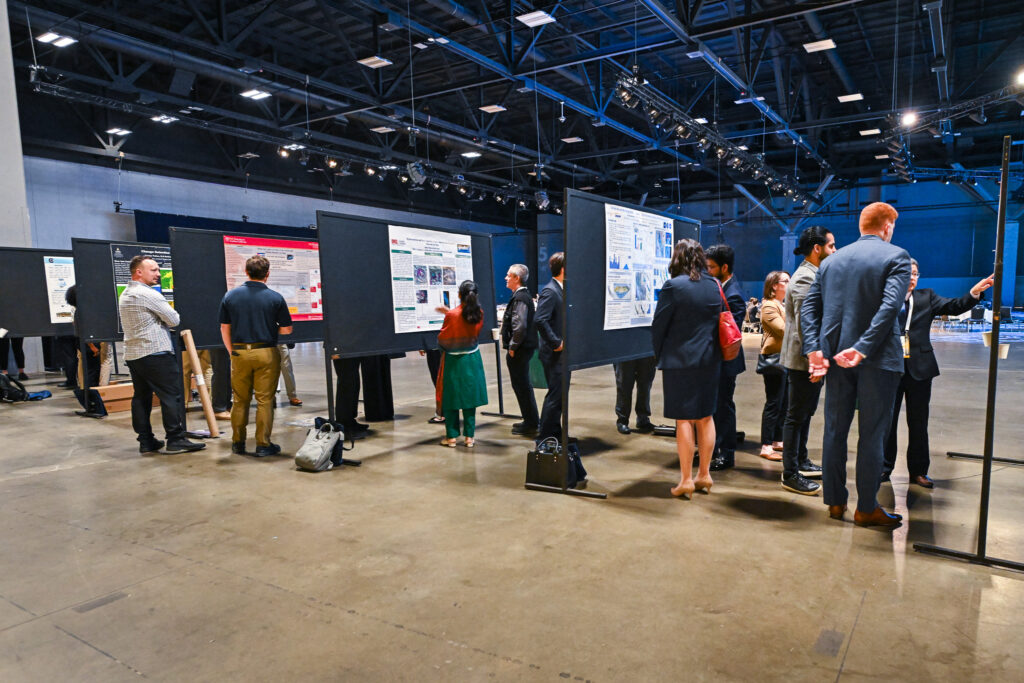
USGIF Celebrates 2025 GEOINT Symposium Student Poster Winners
USGIF proudly recognizes the outstanding achievements of the top three winners of the 2025 Student Poster Competition, selected from an exceptional field of uni…
USGIF Honors Vice Admiral Robert Sharp, USN (Ret.), with 2025 Lundahl-Finnie Lifetime Achievement Award
The United States Geospatial Intelligence Foundation (USGIF) is proud to announce Vice Admiral Robert “Bob” Sharp, USN (Ret.), as the recipient of the 2025 Arth…
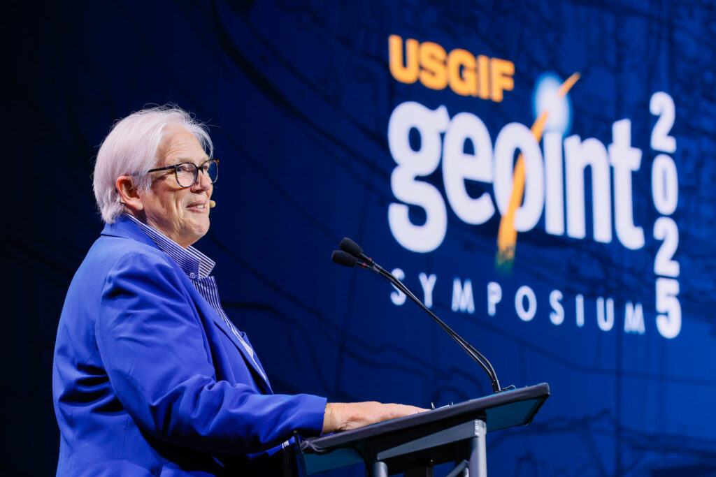
GEOINT Symposium 2025 Day Three Recap
GEOINT’s Next Frontier: Space Collaboration and Strategic Alignment The final general session day of the 2025 GEOINT Symposium highlighted the challenges and o…


