First GEOINT Community Forum of 2021
The GEOINT Community Forum offers insights around advances in modeling, simulation, and gaming technology.

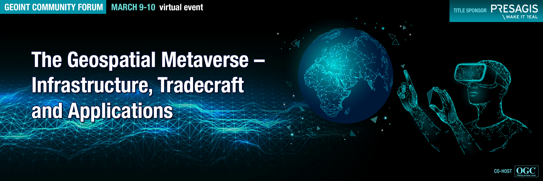
First GEOINT Community Forum: USGIF and the Open Geospatial Consortium (OGC) bring you the first GEOINT Community Forum of 2021, The Geospatial Metaverse – Infrastructure, Tradecraft, and Applications. The event, hosted by the Modeling, Simulation & Gaming (MS&G) working group, will take place virtually March 9–10.
“The GEOINT discipline is constantly evolving and expanding, and USGIF helps advance innovation within the community. This GEOINT Community Forum brings together thought leaders from industry, academia, and the government to discuss how modeling, simulation, and gaming capabilities will transform GEOINT,” said Ronda Schrenk, CEO, USGIF.
The two-day event is full of insights on geospatial infrastructure advances, tradecraft evolution, and game engine and immersive applications. The Geospatial Metaverse: Infrastructure, Tradecraft, and Applications will offer attendees inspiring keynotes from industry leaders and innovative and robust panel discussions.
This event is the latest example of USGIF and OGC working together to highlight how technology innovation is propelling the geospatial community forward. OGC’s CEO, Nadine Alameh, Ph.D, added “OGC is proud of its collaboration with USGIF for more than a decade in bridging the modeling/simulation and GEOINT communities through joint workshops, standards activities and special projects. It’s great to see this collaboration is being further enhanced through the inclusion of gaming technology. We look forward to the upcoming Geospatial Metaverse forum offering participants a front-row seat to see how these efforts are now being realized in operational environments.”
“The Geospatial Metaverse event explores the latest advances in the creation of digital twins. Constructing a geospatially accurate digital twin of our world can be invaluable in providing agencies and organizations a physically persistent virtual space for a wide range of uses such as environmental monitoring, decision-support, first-responder training, and mission rehearsal applications.” said Stuart Blundell, co-chair of the USGIF MS&G working group and one of the lead architects of this program.
Confirmed speakers include:
- Dawn Meyerriecks, Deputy Director of CIA for Science and Technology
- MG Charlie Cleveland, USA, Associate Director for Operations, NGA
- MG Maria Gervais, USA, Director, Synthetic Training Environment Cross-Functional Team, Army Futures Command
- Chris Vaughan, Geospatial Information Officer, FEMA
- Patrick Cozzi, CEO, Cesium
- Amy Peck, Founder and CEO, EndeavorVR
- Scott Simmons, Chief Standards Officer, OGC
- Barry Tilton, Co-Chair USGIF MS&G Working Group and Technology Evangelist, Maxar
- Richard Cooke, Director of Imagery, Esri
- Kyle McCullough, Director of Modeling & Simulation, Institute for Creative Technologies, University of Southern California
“We hope that attendees can learn how to leverage advances in reality capture and modeling, the evolution of 3D terrain models, and the intersection of 3D GEOINT and ModSim to deliver unique and intuitive insights. Join us!” said Schrenk.
Related Articles
Job Post: Associate Professor at James Madison University
USGIF-accredited JMU seeking candidates well prepared to teach introductory and intermediate courses in geospatial analysis, in a security or intelligence conte…
A Committed Vision for GEOINT
In Friday’s Government Hub panel, NGA Moonshot: How It All Comes Together, several leaders involved in the Moonshot effort were on hand to promote capabilities,…
Ready, Open, and Willing
The new face of GEOINT is fresh, full of energy, and adept at identifying the industry’s top problems. With a fierce attitude of openness and collaboration, thi…


